Store Front Museum, New York City
Map

Map

Facts and practical information
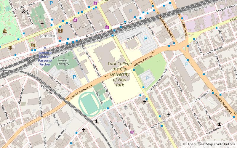
The Store Front Museum was a community museum in Queens, New York that served as a cultural center and exhibition space for the black community of the borough. Established in 1971 by artist Tom Lloyd, it was originally located on Liberty Avenue, in a former retail tire dealer building. ()
Coordinates: 40°42'3"N, 73°47'44"W
Address
Southeastern Queens (Jamaica)New York City
ContactAdd
Social media
Add
Day trips
Store Front Museum – popular in the area (distance from the attraction)
Nearby attractions include: Captain Tilly Park, Loew's Valencia Theatre, Roy Wilkins Park, Montauk Branch.
Frequently Asked Questions (FAQ)
Which popular attractions are close to Store Front Museum?
Nearby attractions include St. Monica's Church, New York City (5 min walk), Prospect Cemetery, New York City (6 min walk), Jamaica Center for Arts & Learning, New York City (7 min walk), Jamaica, New York City (7 min walk).
How to get to Store Front Museum by public transport?
The nearest stations to Store Front Museum:
Bus
Metro
Train
Light rail
Bus
- Merrick Boulevard & 104th Avenue • Lines: n4 (7 min walk)
- Merrick Boulevard & Archer Avenue • Lines: Q44 Sbs (8 min walk)
Metro
- Jamaica Center–Parsons/Archer • Lines: E, J, Z (8 min walk)
- Parsons Boulevard • Lines: <F>, F (16 min walk)
Train
- Jamaica (17 min walk)
Light rail
- Jamaica • Lines: Jfk (18 min walk)

 Subway
 Manhattan Buses


