Arapaho Pass, Roosevelt National Forest
#52 among attractions in Roosevelt National Forest
Facts and practical information
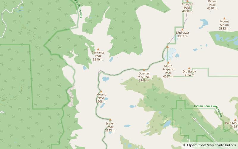
Arapaho Pass, elevation 11,906 ft, is a mountain pass that crosses the Continental Divide in the Front Range of the Rocky Mountains of Colorado in the United States. ()
Roosevelt National Forest United States
Arapaho Pass – popular in the area (distance from the attraction)
Nearby attractions include: Eldora, North Arapaho Peak, Mount Neva, Lone Eagle Peak.
 Winter sport, Ski area
Eldora, Roosevelt National Forest
171 min walk • Eldora Mountain Resort is a ski area in the southwest corner of Boulder County, Colorado, near the unincorporated community of Eldora and 3 miles west of the town of Nederland.
 Nature, Natural attraction, Mountain
North Arapaho Peak, Roosevelt National Forest
44 min walk • North Arapaho Peak is the highest summit of the Indian Peaks in the northern Front Range of the Rocky Mountains of North America.
 Natural attraction, Mountain
Mount Neva, Indian Peaks Wilderness
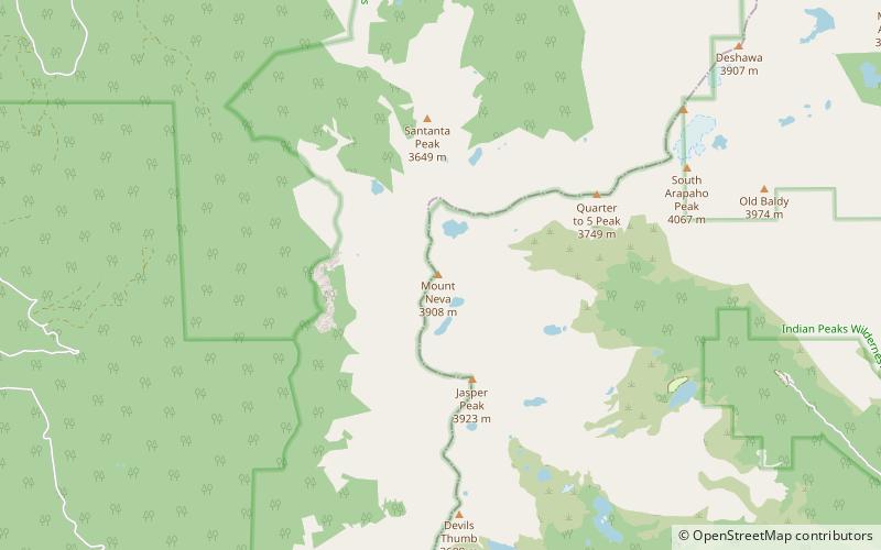
19 min walk • Mount Neva is a summit in Grand County, Colorado, in the United States. With an elevation of 12,821 feet, Mount Neva is the 720th highest summit in the state of Colorado. Mount Neva was named for Chief Niwot's brother.
 Natural attraction, Mountain
Lone Eagle Peak, Indian Peaks Wilderness
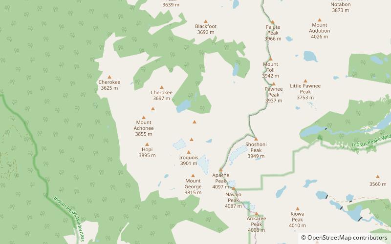
104 min walk • Lone Eagle Peak is a mountain summit in the Indian Peaks of the Front Range of the Rocky Mountains of North America. The 11,946-foot peak is located in the Indian Peaks Wilderness of Arapaho National Forest, 12.4 miles northeast by north of the Town of Fraser in Grand County, Colorado, United States.
 Nature, Natural attraction, Natural feature
Arapaho Glacier, Roosevelt National Forest
44 min walk • Arapaho Glacier is an alpine glacier in a cirque immediately southeast of North Arapaho Peak, in Roosevelt National Forest in the U.S. state of Colorado. The glacier is just east of the Continental Divide.
 Natural attraction, Natural feature
Isabelle Glacier, Indian Peaks Wilderness
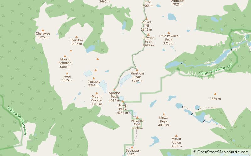
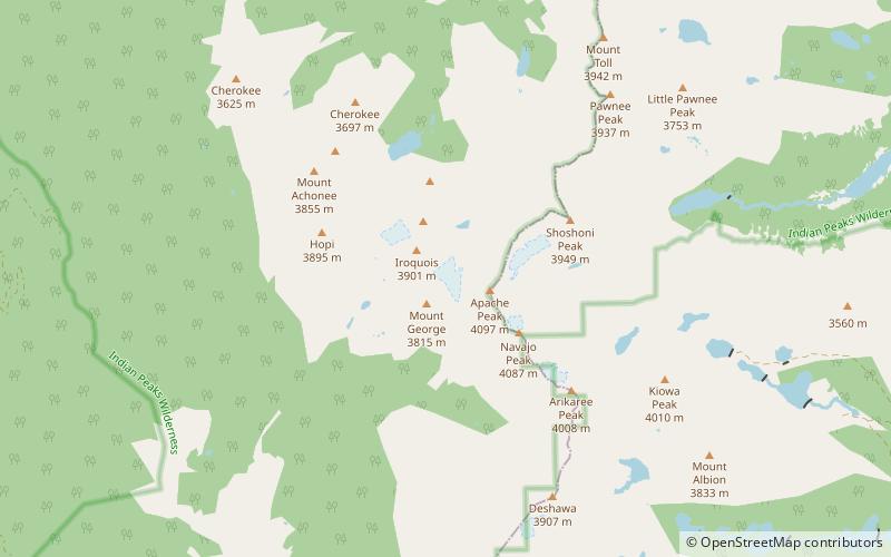
97 min walk • Isabelle Glacier is an alpine glacier located.25 mi southwest of Shoshoni Peak, in Roosevelt National Forest in the US state of Colorado. The glacier is immediately east of the Continental Divide on the opposite side of the divide from Fair Glacier.
 Natural attraction, Natural feature
Fair Glacier, Indian Peaks Wilderness
85 min walk • Fair Glacier is an alpine glacier located just west of Apache Peak, in Roosevelt National Forest in the U.S. state of Colorado. The glacier is immediately west of the Continental Divide on the opposite side of the divide from Isabelle Glacier.
 Nature, Natural attraction, Mountain pass
Rollins Pass, Roosevelt National Forest
142 min walk • Rollins Pass, elevation 11,676 ft, is a mountain pass and active archaeological site in the Southern Rocky Mountains of north-central Colorado in the United States.
 Museum, History museum
Wall Street Assay Office, Roosevelt National Forest
82 min walk • The Wall Street Assay Office is a historic commercial building related to precious metal mining in the western outskirts of Boulder, Colorado in an area known as Wall Street.
 Natural attraction, Natural feature
Navajo Glacier, Indian Peaks Wilderness
81 min walk • Navajo Glacier is an alpine glacier in Roosevelt National Forest in the U.S. state of Colorado. Navajo Glacier is on the north slope of Navajo Peak and about.40 mi south of Isabelle Glacier.
 Nature, Canyon
Left Hand Creek, Roosevelt National Forest
169 min walk • Left Hand Creek is a tributary of Saint Vrain Creek, approximately 33.9 miles long, in Boulder County, Colorado in the United States.