Washington Bridge, New York City
Map
Gallery
Facts and practical information
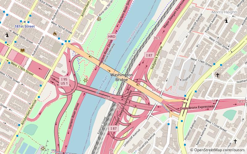
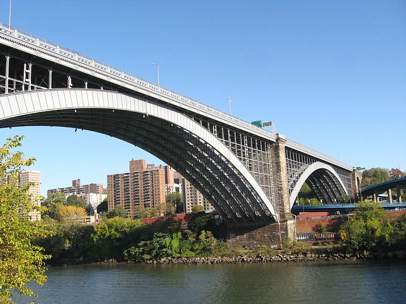
The Washington Bridge is a 2,375-foot -long arch bridge over the Harlem River in New York City between the boroughs of Manhattan and the Bronx. The crossing, opened in 1888, connects 181st Street and Amsterdam Avenue in Washington Heights, Manhattan, with University Avenue in Morris Heights, Bronx. It carries six lanes of traffic, as well as sidewalks on both sides. Ramps at either end of the bridge connect to the Trans-Manhattan Expressway and the Cross-Bronx Expressway. ()
Day trips
Washington Bridge – popular in the area (distance from the attraction)
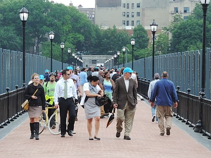
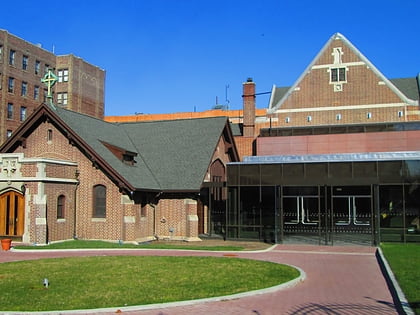
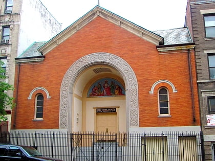
Nearby attractions include: High Bridge, Highbridge Park, Fort Washington Collegiate Church, St. Spyridon Greek Orthodox Church.
Frequently Asked Questions (FAQ)
Which popular attractions are close to Washington Bridge?
Nearby attractions include Alexander Hamilton Bridge, New York City (3 min walk), Highbridge Park, New York City (5 min walk), Audubon Avenue, New York City (9 min walk), High Bridge, New York City (11 min walk).
How to get to Washington Bridge by public transport?
The nearest stations to Washington Bridge:
Bus
Metro
Train
Bus
- Amsterdam Avenue & West 178th Street • Lines: M101 (8 min walk)
Metro
- 181st Street • Lines: 1 (11 min walk)
- 191st Street • Lines: 1 (17 min walk)
Train
- Morris Heights (17 min walk)
- University Heights (33 min walk)

 Subway
 Manhattan Buses