South Waterfront Greenway, Portland
Map
Facts and practical information
The South Waterfront Greenway is a linear park and urban walkway along the Willamette River in the South Waterfront district of Portland, Oregon, in the United States. ()
Created: 2015Elevation: 36 ft a.s.l.Coordinates: 45°29'57"N, 122°40'16"W
Getting there by public transportation
Public transportation stops near this location
- Bus
- Tram
- Light rail
 Bus
Bus
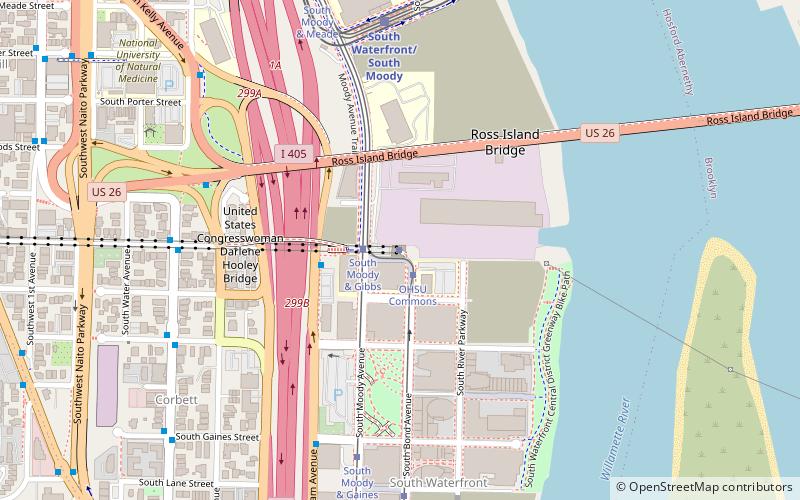
- Calculate routeOHSU Commons 1 min walk
- Calculate routeSouth Moody & Gaines 6 min walk
- Calculate routeSouth Bond & Lane 7 min walk
- Calculate routeSouthwest Macadam & Tram Tower 3 min walk
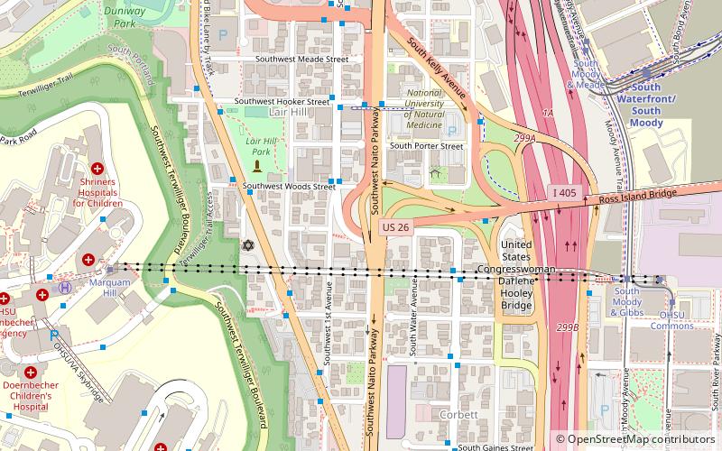
- Calculate routeSouthwest Kelly & Gibbs 5 min walk
- Calculate routeRoss Island Bridge 6 min walk
- Calculate routeSouthwest Macadam & Gaines 6 min walk
- Calculate routeSouth Waterfront/South Moody 7 min walk
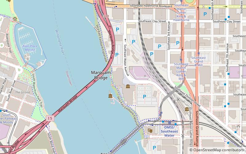
- Calculate routeOMSI/Southeast Water 17 min walk
- Calculate routeLincoln Street/Southwest 3rd Avenue 20 min walk
- Calculate routePSU South/Southwest 5th & Jackson 23 min walk
Day trips


Frequently Asked Questions (FAQ)
Which popular attractions are close to South Waterfront Greenway?
Nearby attractions include OHSU Center for Health & Healing, Portland (1 min walk), Gibbs Street Pedestrian Bridge, Portland (3 min walk), Mirabella Portland, Portland (4 min walk), Caruthers Park, Portland (4 min walk).
How to get to South Waterfront Greenway by public transport?
The nearest stations to South Waterfront Greenway:
Tram
Bus
Light rail
Tram
- OHSU Commons • Lines: Ns (1 min walk)
- South Moody & Gaines • Lines: Ns (6 min walk)
Bus
- Southwest Macadam & Tram Tower • Lines: 35, 36, 99 (3 min walk)
- Southwest Kelly & Gibbs • Lines: 99 (5 min walk)
Light rail
- South Waterfront/South Moody • Lines: Orange (7 min walk)
- OMSI/Southeast Water • Lines: Orange (17 min walk)