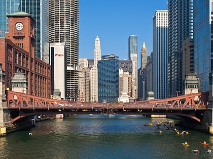
Dearborn Street Bridge, Chicago
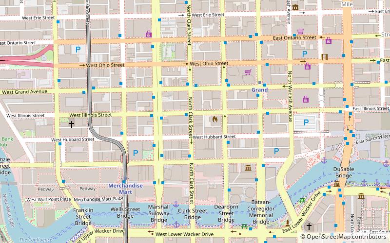
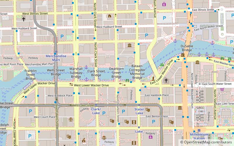
Map
Gallery
Facts and practical information
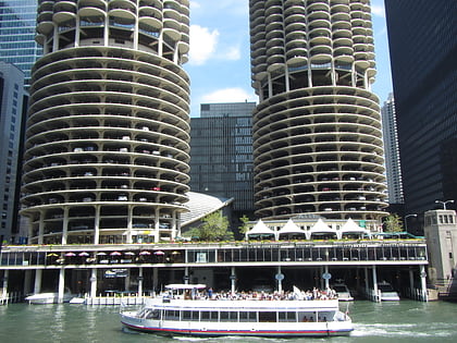
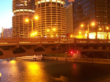
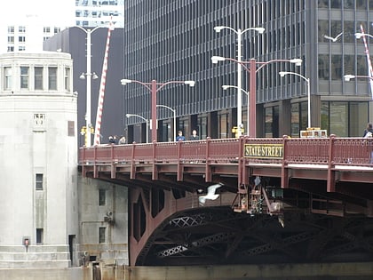
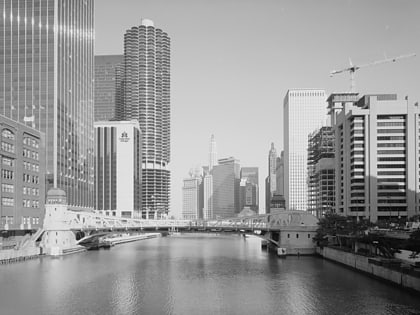
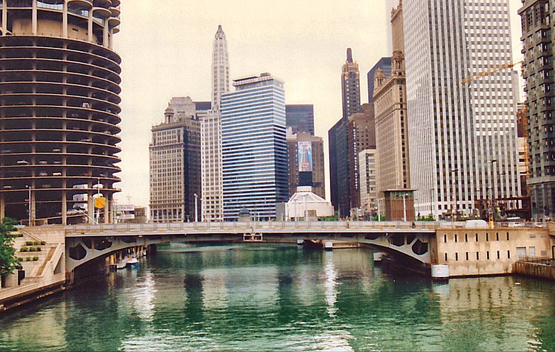
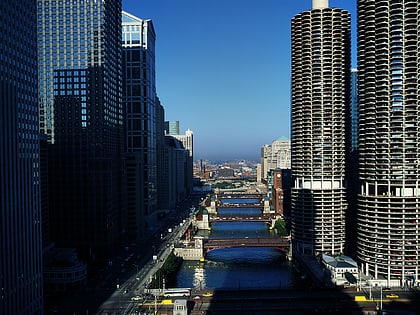
The Dearborn Street Bridge over the Chicago River was built in 1962. It connects the Near North Side with "The Loop." The American Institute of Steel Construction honored the bridge with the 1963 "Most Beautiful Steel Bridge" award in the Movable Span category. The first drawbridge was built at Dearborn street in 1834 when Chicago had a population of 350. It was the primary crossing point over the Chicago River for the original town. ()
Opened: 1962 (64 years ago)Coordinates: 41°53'15"N, 87°37'46"W
Day trips
Dearborn Street Bridge – popular in the area (distance from the attraction)
Nearby attractions include: Chicago Theatre, Marina City, Andy's Jazz Club, Frontera Grill.
Frequently Asked Questions (FAQ)
Which popular attractions are close to Dearborn Street Bridge?
Nearby attractions include Marina City, Chicago (2 min walk), Bataan-Corregidor Memorial Bridge, Chicago (2 min walk), ABA Museum of Law, Chicago (2 min walk), Clark Street Bridge, Chicago (2 min walk).
How to get to Dearborn Street Bridge by public transport?
The nearest stations to Dearborn Street Bridge:
Bus
Metro
Train
Bus
- Dearborn & Marina City • Lines: 22, 36, 62, (N) N22, (N) N62 (2 min walk)
- Wacker & State WB • Lines: 134, 135, 136 (2 min walk)
Metro
- State/Lake • Lines: Brown, Green, Orange, Pink, Purple (4 min walk)
- Clark/Lake • Lines: Blue, Brown, Green, Orange, Pink, Purple (4 min walk)
Train
- Millennium Station (10 min walk)
- Ogilvie Transportation Center (16 min walk)
 Rail "L"
