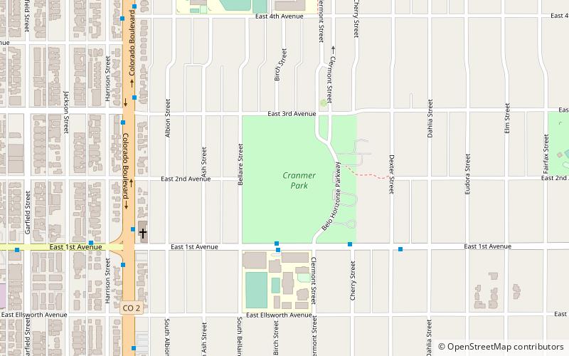
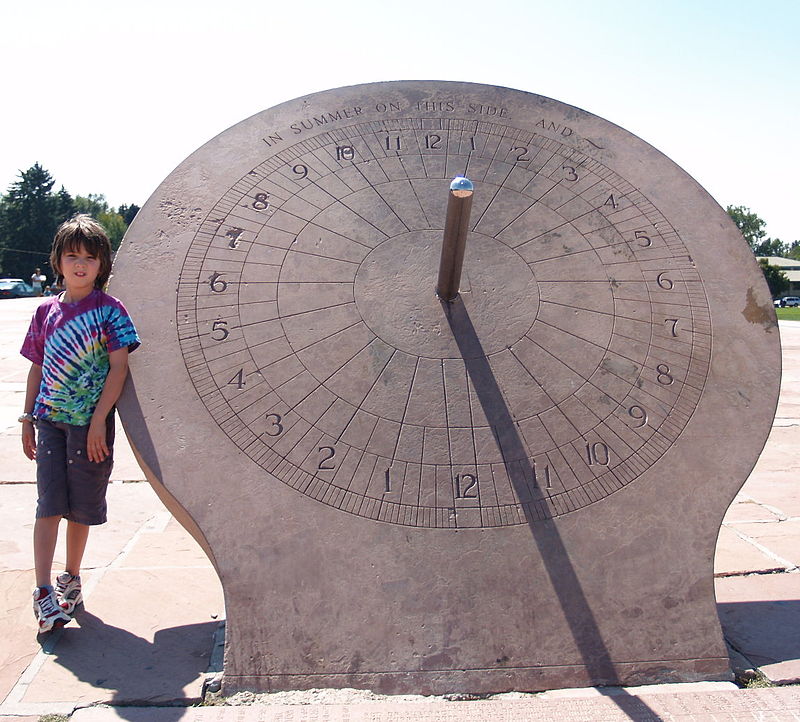
Cranmer Park, Denver

Gallery (2)
Map
Map
Gallery
Facts and practical information
Built: 1919 (107 years ago)Elevation: 5423 ft a.s.l.Coordinates: 39°43'10"N, 104°56'10"W
Getting there by public transportation
Public transportation stops near this location
- Bus
 Bus
Bus
- Calculate routeEast 6th Avenue & Clermont Parkway 11 min walk
Day trips


Frequently Asked Questions (FAQ)
How to get to Cranmer Park by public transport?
The nearest stations to Cranmer Park:
Bus
Bus
- East 6th Avenue & Clermont Parkway • Lines: 6 (11 min walk)