Glendale, Denver
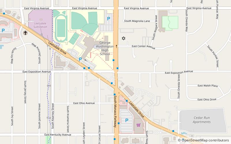
Map
Gallery
Facts and practical information
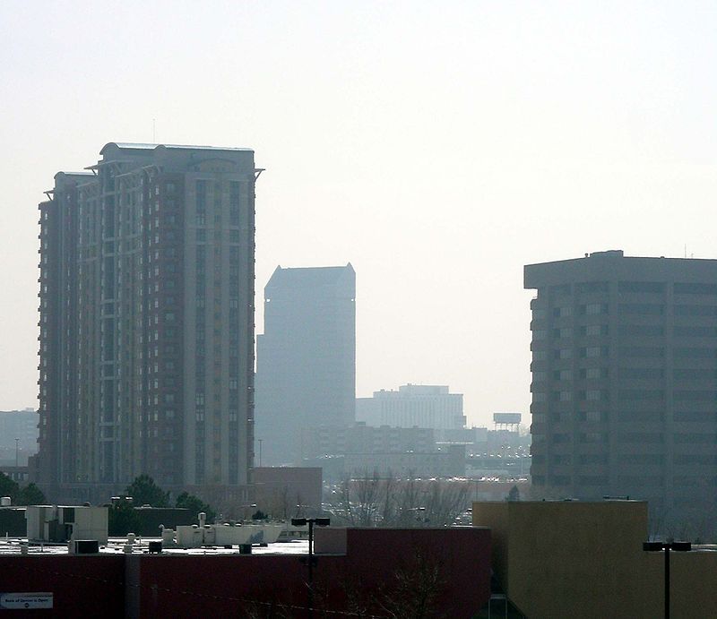
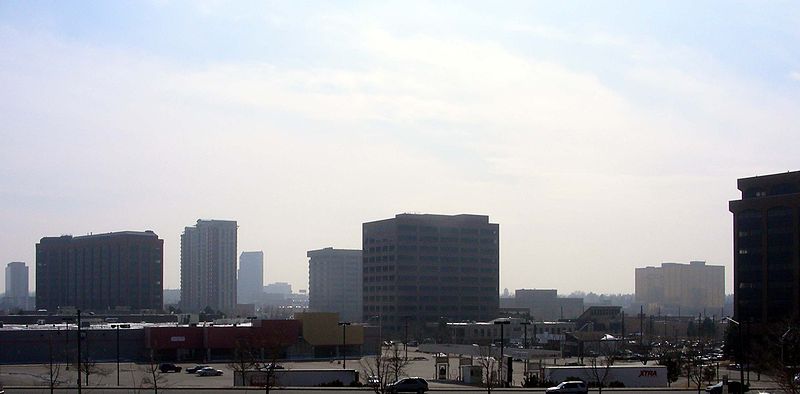
The City of Glendale is a home rule municipality located in an exclave of Arapahoe County, Colorado, United States. The city population was 4,613 at the 2020 United States Census. Glendale is an enclave of the City and County of Denver and is the most densely populated municipality in Colorado. The city is a part of the Denver–Aurora–Lakewood, CO Metropolitan Statistical Area and the Front Range Urban Corridor. ()
Day trips
Glendale – popular in the area (distance from the attraction)
Nearby attractions include: Cherry Creek Shopping Center, Temple Emanuel, Cranmer Park, Canvas and Cocktails.
Frequently Asked Questions (FAQ)
Which popular attractions are close to Glendale?
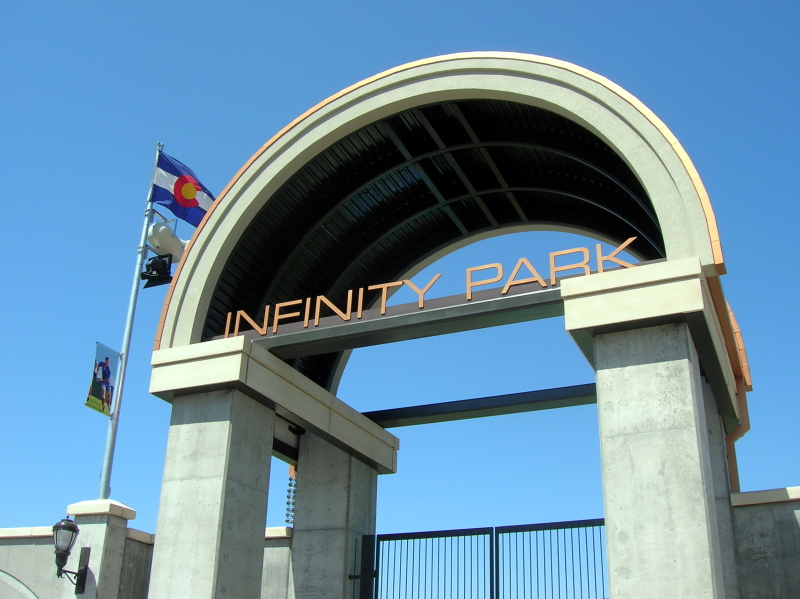
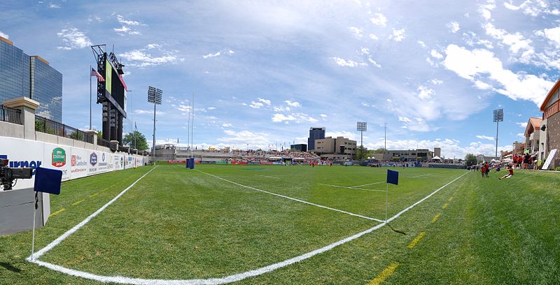
Nearby attractions include Infinity Park, Denver (10 min walk), Belcaro, Denver (22 min walk).
How to get to Glendale by public transport?
The nearest stations to Glendale:
Bus
Bus
- East Alameda Avenue & South Dahlia Street • Lines: 3 (12 min walk)


