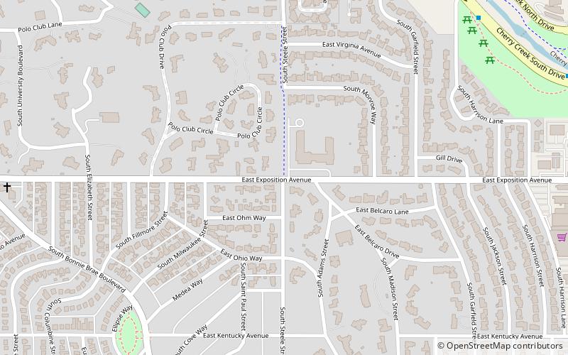
Belcaro, Denver
Map

Map

Facts and practical information
Belcaro is a neighborhood of Denver, Colorado. According to the Piton Foundation, in 2007, the population of the neighborhood was 4,394, and there were 2,343 housing units. The neighborhood is a wealthy one, and Piton Foundation data from 2000 indicates the neighborhood's average household income was $163,553. ()
Coordinates: 39°42'14"N, 104°56'60"W
Address
East Denver (Belcaro)Denver
ContactAdd
Social media
Add
Day trips
Belcaro – popular in the area (distance from the attraction)
Nearby attractions include: Cherry Creek Shopping Center, Glendale, Washington Park, Cranmer Park.
Frequently Asked Questions (FAQ)
Which popular attractions are close to Belcaro?
Nearby attractions include Arts at Denver Gallery, Denver (20 min walk), Glendale, Denver (22 min walk), Infinity Park, Denver (22 min walk).
How to get to Belcaro by public transport?
The nearest stations to Belcaro:
Bus
Bus
- East Alameda Avenue & South Monroe Street • Lines: 3 (15 min walk)
- South University Boulevard & East Alameda Avenue • Lines: 3 (19 min walk)


