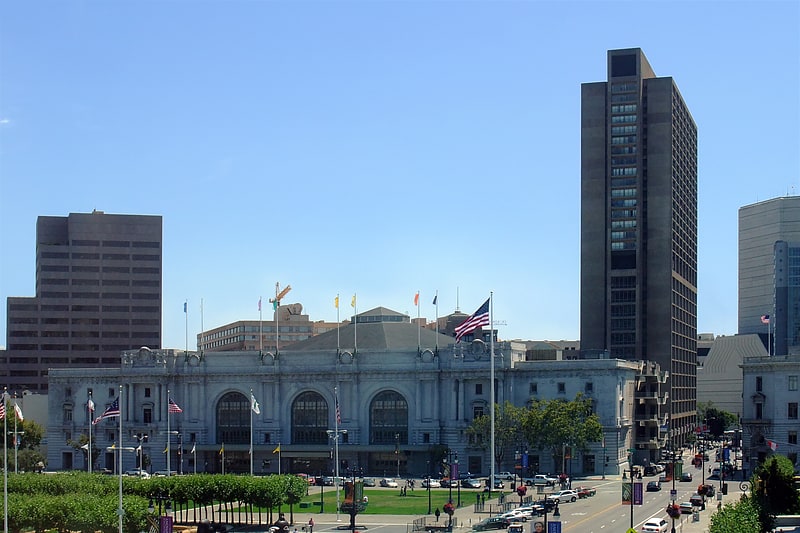
Phillip Burton Federal Building, San Francisco

Gallery (1)
Map

Map
Facts and practical information
The Phillip Burton Federal Building & United States Courthouse is a massive 21 floor, 312 feet federal office building located at 450 Golden Gate Avenue near San Francisco's Civic Center and the San Francisco City Hall. The building occupies an entire city block, bounded by Golden Gate Avenue at the south, Turk Street at the north, Polk Street at the west, and Larkin Street at the east. ()
Opened: 1964 (62 years ago)Floors: 21Coordinates: 37°46'55"N, 122°25'5"W
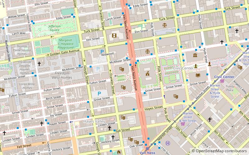
Address
450 Golden Gate AvenueNortheast San Francisco (Civic Center)San Francisco
ContactAdd
Social media
Add
Getting there by public transportation
Public transportation stops near this location
- Metro
- Bus
- Trolleybus
- Tram
- Light rail
 Metro
Metro
- Calculate routeLarkin Street & Golden Gate Avenue 2 min walk
- Calculate routeGolden Gate Avenue & Polk Street 2 min walk
- Calculate routeMcAllister Street & Larkin Street 3 min walk
- Calculate routeMarket Street & Hyde Street 8 min walk
- Calculate routeCivic Center 8 min walk
- Calculate routeVan Ness 12 min walk
- Calculate routePowell Street 16 min walk
- Calculate routeMontgomery Street 26 min walk
- Calculate routeCivic Center 8 min walk
- Calculate routePowell Street 16 min walk
- Calculate routeMission Street & 8th Street 11 min walk
Maps Muni Metro
Muni MetroDay trips
Phillip Burton Federal Building – popular in the area (distance from the attraction)
Nearby attractions include: Great American Music Hall, Bill Graham Civic Auditorium, San Francisco City Hall, Asian Art Museum.


Frequently Asked Questions (FAQ)
Which popular attractions are close to Phillip Burton Federal Building?
Nearby attractions include Asian Art Museum, San Francisco (5 min walk), Pioneer Monument, San Francisco (5 min walk), San Francisco City Hall, San Francisco (6 min walk), San Francisco War Memorial and Performing Arts Center, San Francisco (6 min walk).
How to get to Phillip Burton Federal Building by public transport?
The nearest stations to Phillip Burton Federal Building:
Bus
Tram
Light rail
Metro
Trolleybus
Bus
- Larkin Street & Golden Gate Avenue • Lines: 19 (2 min walk)
- Golden Gate Avenue & Polk Street • Lines: 101, 101X, 24C, 30, 4C, 54C, 70, 92 (2 min walk)
Tram
- Market Street & Hyde Street • Lines: F (8 min walk)
Light rail
- Civic Center • Lines: K, N, S, T (8 min walk)
- Van Ness • Lines: K, N, S, T (12 min walk)
Metro
- Civic Center • Lines: Blue, Green, Red, Yellow (8 min walk)
- Powell Street • Lines: Blue, Green, Red, Yellow (16 min walk)
Trolleybus
- Mission Street & 8th Street • Lines: 14 (11 min walk)