Shrine of the Immaculate Conception, Atlanta
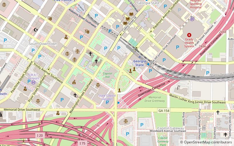
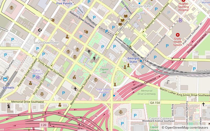
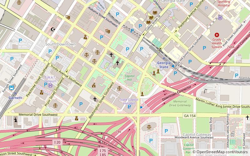
Map
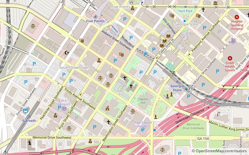
Map

Facts and practical information
Shrine of the Immaculate Conception is the second oldest structure in downtown Atlanta, Georgia. Designed by local architect William H. Parkins, the cornerstone was laid September 1, 1869 by the priest poet Abram Joseph Ryan. It was completed and dedicated in 1873 and is still in use. It replaced a wood-frame structure that was located on the same site, and that was famously saved from the burning of the city in 1864. ()
Built: 1869 (157 years ago)Coordinates: 33°45'1"N, 84°23'23"W
Address
48 M.L.K. Jr Dr SWDowntown Atlanta (South Downtown)Atlanta 30303
Contact
+1 404-521-1866
Social media
Add
Day trips
Shrine of the Immaculate Conception – popular in the area (distance from the attraction)
Nearby attractions include: Georgia State Capitol, M. Rich Building, Equestrian statue of John Brown Gordon, Statue of Martin Luther King Jr..
Frequently Asked Questions (FAQ)
Which popular attractions are close to Shrine of the Immaculate Conception?
Nearby attractions include Central Presbyterian Church, Atlanta (2 min walk), Statue of Thomas E. Watson, Atlanta (2 min walk), Equestrian statue of John Brown Gordon, Atlanta (3 min walk), Statue of Jimmy Carter, Atlanta (3 min walk).
How to get to Shrine of the Immaculate Conception by public transport?
The nearest stations to Shrine of the Immaculate Conception:
Metro
Tram
Bus
Metro
- Georgia State • Lines: Blue, Green (6 min walk)
- Five Points • Lines: Blue, Gold, Green, Red (7 min walk)
Tram
- Park Place • Lines: Atlanta Streetcar (9 min walk)
- Hurt Park • Lines: Atlanta Streetcar (10 min walk)
Bus
- Atlanta Greyhound Bus Station (11 min walk)
