Washington Bridge, Providence/East Providence

Gallery (5)
Map

Map

Gallery
Facts and practical information
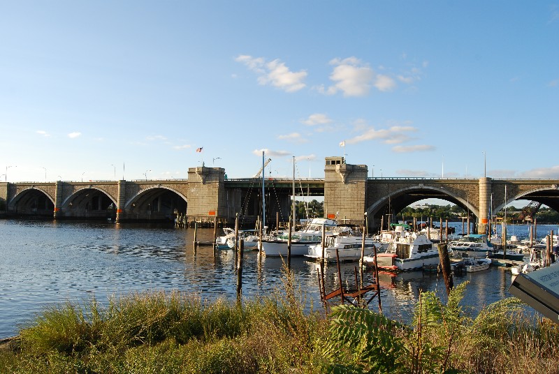
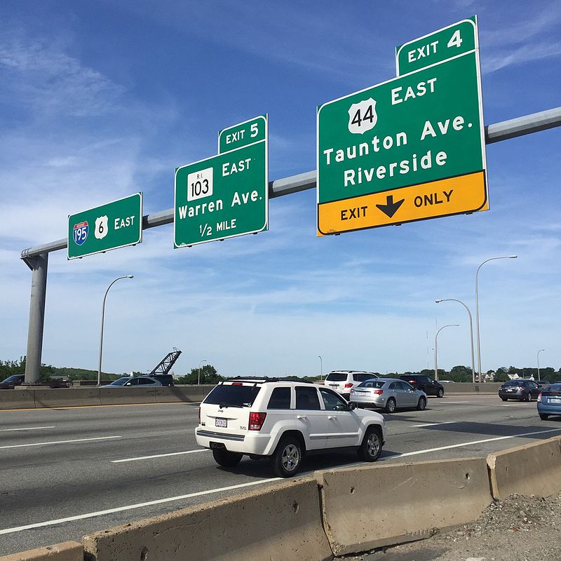
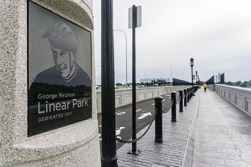
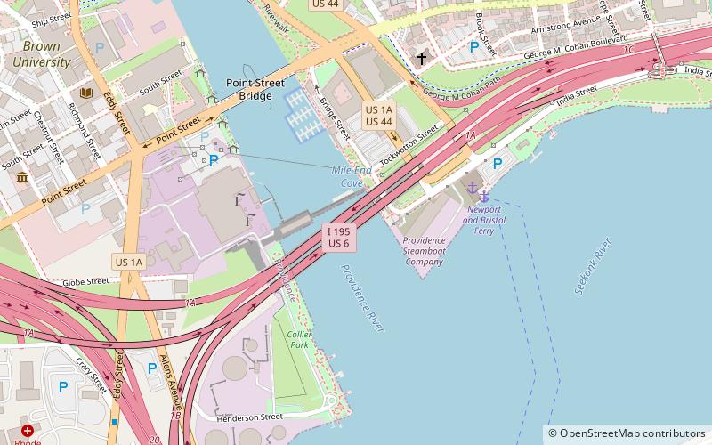
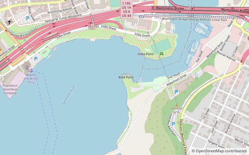
The Washington Bridge is a series of three bridges carrying Interstate 195, US Route 6, US Route 44, and U.S. Route 1A over the Seekonk River connecting India Point in Providence to Watchemoket Square in East Providence, Rhode Island. The historic portion of the bridge dating to 1930 serves as the pedestrian crossing, and bike link to the East Bay Bike Path. The pedestrian span is also a part of the Washington-Rochambeau National Historic Trail. ()
Opened: 25 September 1930 (95 years ago)Coordinates: 41°49'9"N, 71°23'10"W
Getting there by public transportation
Public transportation stops near this location
- Bus
 Bus
Bus
- Calculate routeEddy and Borden 31 min walk
Day trips


Frequently Asked Questions (FAQ)
Which popular attractions are close to Washington Bridge?
Nearby attractions include St. Mary's Episcopal Church, Providence/East Providence (9 min walk), Crook Point Bascule Bridge, Providence (9 min walk), Bold Point Park, Providence/East Providence (10 min walk), India Point Park, Providence (11 min walk).
How to get to Washington Bridge by public transport?
The nearest stations to Washington Bridge:
Bus
Bus
- Eddy and Borden • Lines: 3, 3A, 3B (31 min walk)