West Seattle Bridge, Seattle
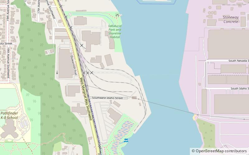
Map
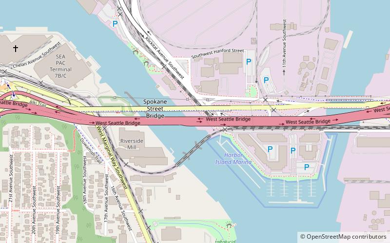
Gallery

Facts and practical information
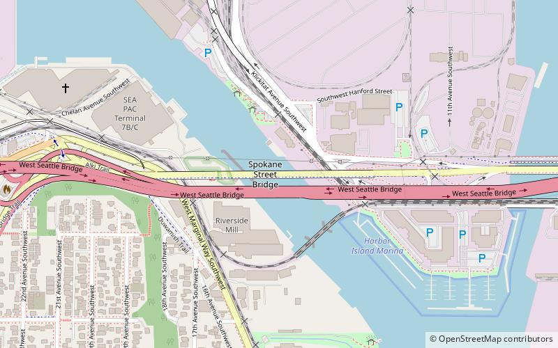
The high-level West Seattle Bridge, officially the Jeanette Williams Memorial Bridge, is a cantilevered segmental bridge that serves as the primary connection between West Seattle and the rest of the city. It was built between 1981 and 1984 after the previous bascule bridge was deemed inoperable as a result of being struck by the freighter Antonio Chavez in 1978. ()
Length: 2607 ftCoordinates: 47°34'16"N, 122°21'7"W
Day trips
West Seattle Bridge – popular in the area (distance from the attraction)
Nearby attractions include: Living Computers: Museum + Labs, Dockside Cannabis Museum, Jack Block Park, SoDo.
Frequently Asked Questions (FAQ)
Which popular attractions are close to West Seattle Bridge?
Nearby attractions include West Seattle Bridge collision, Seattle (2 min walk), Spokane Street Bridge, Seattle (3 min walk), Elliot Bay Petroglyphs, Seattle (11 min walk), Harbor Island, Seattle (15 min walk).
How to get to West Seattle Bridge by public transport?
The nearest stations to West Seattle Bridge:
Bus
Light rail
Bus
- SW Spokane St & Chelan Ave SW • Lines: 21, 37 (14 min walk)
- Delridge Way SW & SW Andover St • Lines: 120, 125, 50 (15 min walk)
Light rail
- Sodo • Lines: 1 (35 min walk)

