West Seattle Bridge collision, Seattle
Map
Facts and practical information
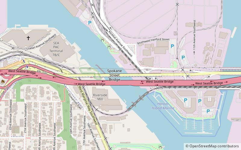
At 2:38 a.m. on June 11, 1978, the freighter Chavez rammed the West Seattle Bridge over the Duwamish West Waterway, thereby closing it to automobile traffic for the next six years. The pilot and master were both found negligent in causing the collision. The collision led to the opening of the current West Seattle Bridge in 1984. ()
Coordinates: 47°34'17"N, 122°21'12"W
Address
Seattle
ContactAdd
Social media
Add
Getting there by public transportation
Public transportation stops near this location
- Bus
 Bus
Bus
- Calculate routeSW Spokane St & Chelan Ave SW 12 min walk
- Calculate routeDelridge Way SW & SW Andover St 14 min walk
Day trips


Frequently Asked Questions (FAQ)
Which popular attractions are close to West Seattle Bridge collision?
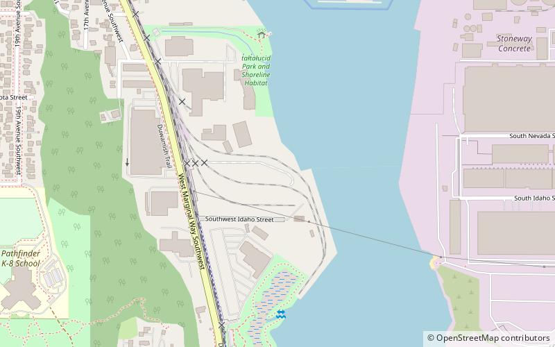
Nearby attractions include Spokane Street Bridge, Seattle (1 min walk), West Seattle Bridge, Seattle (2 min walk), Elliot Bay Petroglyphs, Seattle (12 min walk), Harbor Island, Seattle (15 min walk).
How to get to West Seattle Bridge collision by public transport?
The nearest stations to West Seattle Bridge collision:
Bus
Bus
- SW Spokane St & Chelan Ave SW • Lines: 21, 37 (12 min walk)
- Delridge Way SW & SW Andover St • Lines: 120, 125, 50 (14 min walk)