Charles C. Glover Memorial Bridge, Washington D.C.
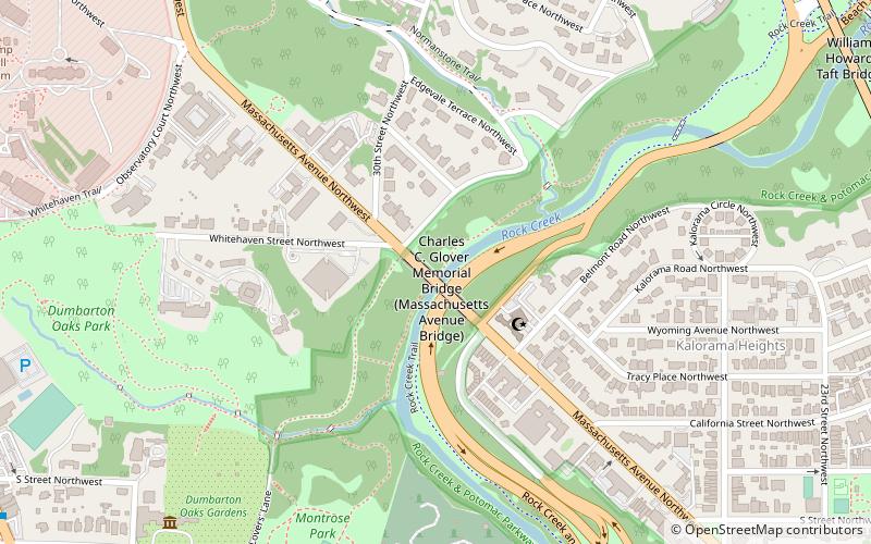
Map
Facts and practical information
The Charles C. Glover Memorial Bridge or Massachusetts Avenue Bridge in Northwest Washington, D.C. conveys Massachusetts Avenue over Rock Creek and Rock Creek Park. The concrete arch bridge was constructed in 1939–41 and has a length of 386.2 feet. ()
Completed: 1941 (85 years ago)Coordinates: 38°55'4"N, 77°3'30"W
Address
Northwest Washington (Rock Creek and Potomac Parkway)Washington D.C.
ContactAdd
Social media
Add
Getting there by public transportation
Public transportation stops near this location
- Metro
- Bus
 Metro
Metro
- Calculate routeWoodley Park 15 min walk
- Calculate routeDupont Circle 25 min walk
- Calculate routeBus Loading 27 min walk
- Calculate routeMTA Bus Stop 35 min walk
Day trips
Charles C. Glover Memorial Bridge – popular in the area (distance from the attraction)
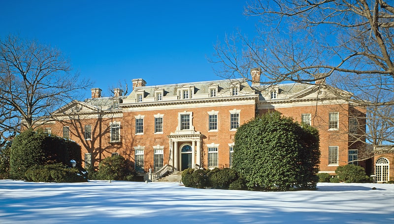
Nearby attractions include: Dumbarton Oaks, Islamic Center of Washington, Khalil Gibran Memorial, Oak Hill Cemetery.


Frequently Asked Questions (FAQ)
Which popular attractions are close to Charles C. Glover Memorial Bridge?
Nearby attractions include Islamic Center of Washington, Washington D.C. (3 min walk), Center for Hellenic Studies, Washington D.C. (6 min walk), Khalil Gibran Memorial, Washington D.C. (7 min walk), The Lindens, Washington D.C. (7 min walk).
How to get to Charles C. Glover Memorial Bridge by public transport?
The nearest stations to Charles C. Glover Memorial Bridge:
Metro
Bus
Metro
- Woodley Park • Lines: Rd (15 min walk)
- Dupont Circle • Lines: Rd (25 min walk)
Bus
- Bus Loading (27 min walk)
- MTA Bus Stop • Lines: 305, 315 (35 min walk)