Fort DeRussy, Washington D.C.
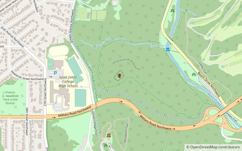
Map
Gallery
Facts and practical information
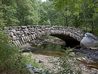
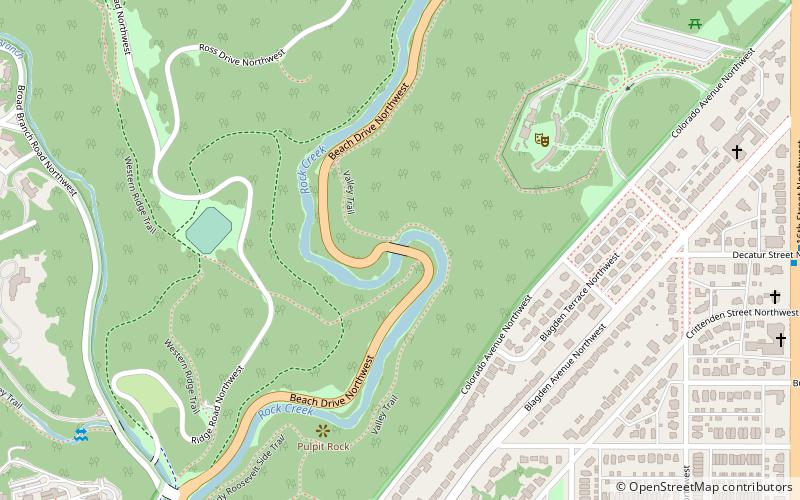
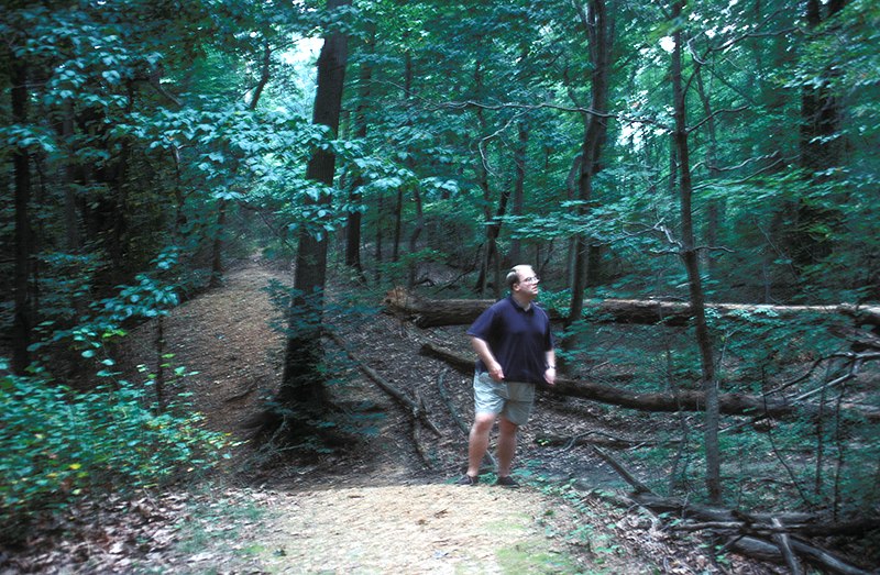
Fort DeRussy was an American Civil War-era fortification constructed in 1861 on a hilltop along the west bank of Rock Creek within Washington, D.C., as part of the Defenses of Washington. ()
Built: 1861 (165 years ago)Demolished: 1865Area: 65 acres (0.1016 mi²)Coordinates: 38°57'48"N, 77°3'3"W
Address
Northwest Washington (Rock Creek Park)Washington D.C.
ContactAdd
Social media
Add
Day trips
Fort DeRussy – popular in the area (distance from the attraction)
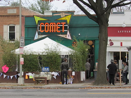
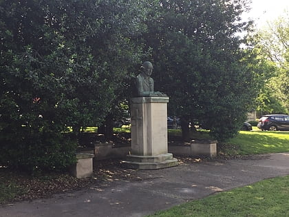
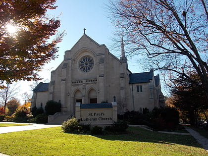
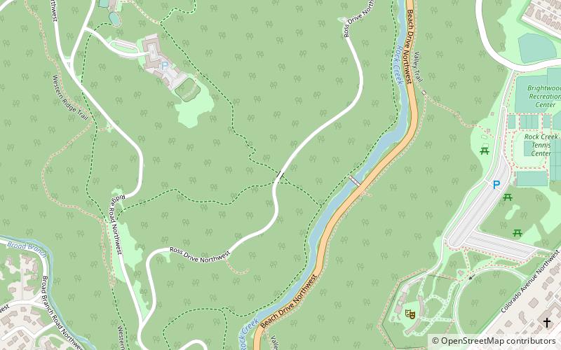
Nearby attractions include: Comet Ping Pong, Peter Muhlenberg Memorial, St. Paul's Lutheran Church, Ross Drive Bridge.
Frequently Asked Questions (FAQ)
Which popular attractions are close to Fort DeRussy?
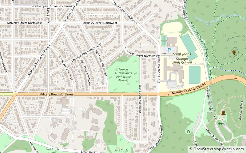
Nearby attractions include Little Forest Park, Washington D.C. (12 min walk), Rock Creek Park, Washington D.C. (13 min walk), Ross Drive Bridge, Washington D.C. (19 min walk), Barnaby Woods, Washington D.C. (24 min walk).

