Potomac Gardens, Washington D.C.

Map
Facts and practical information
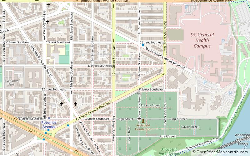
Potomac Gardens, known to some of its residents as "The Gardens", is a housing project located at 1225 G Street SE, in Capitol Hill, Southeast, Washington, D.C., thirteen blocks to the southeast of the United States Capitol building. ()
Completed: 1968 (57 years ago)Elevation: 56 ft a.s.l.Coordinates: 38°52'48"N, 76°59'25"W
Getting there by public transportation
Public transportation stops near this location
- Metro
- Bus
- Train
 Metro
Metro
- Calculate routePotomac Avenue 8 min walk
- Calculate routeEastern Market 11 min walk
- Calculate routeM St SE & 4th St SE 16 min walk
- Calculate routeFlixBus Washington Union Station 37 min walk
- Calculate routeHart 30 min walk
- Calculate routeDirksen 30 min walk
- Calculate routeRayburn 31 min walk
- Calculate routeU.S. Capitol 31 min walk
Day trips


Frequently Asked Questions (FAQ)
Which popular attractions are close to Potomac Gardens?
Nearby attractions include Virginia Avenue Tunnel, Washington D.C. (5 min walk), Barracks Row, Washington D.C. (8 min walk), Washington and Georgetown Railroad Car House, Washington D.C. (9 min walk), Navy Department Library, Washington D.C. (11 min walk).
How to get to Potomac Gardens by public transport?
The nearest stations to Potomac Gardens:
Metro
Bus
Train
Metro
- Potomac Avenue • Lines: Bl, Or, Sv (8 min walk)
- Eastern Market • Lines: Bl, Or, Sv (11 min walk)
Bus
- M St SE & 4th St SE • Lines: V4 (16 min walk)
- FlixBus Washington Union Station • Lines: 2601, 2602, 2668, N2610 (37 min walk)
Train
- Hart (30 min walk)
- Dirksen (30 min walk)