Eastern Methodist Cemetery, Washington D.C.
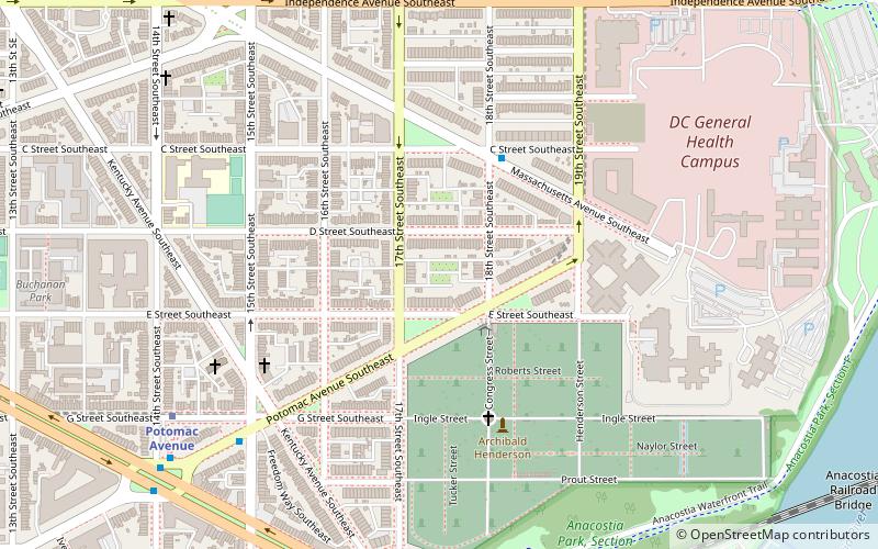
Map
Facts and practical information
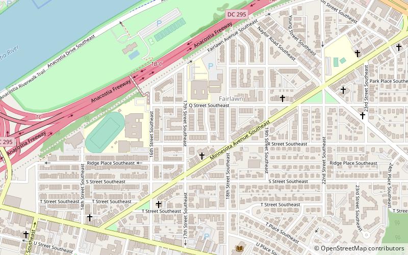
Eastern Methodist Cemetery, also known as Old Ebenezer Cemetery and Ebenezer Cemetery, was a 4-acre cemetery located in the Barney Circle neighborhood of Washington, D.C., in the United States. ()
Coordinates: 38°53'0"N, 76°58'48"W
Address
Southeast Washington (Capitol Hill)Washington D.C.
ContactAdd
Social media
Add
Day trips
Eastern Methodist Cemetery – popular in the area (distance from the attraction)
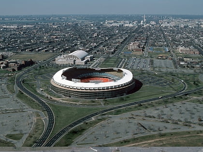
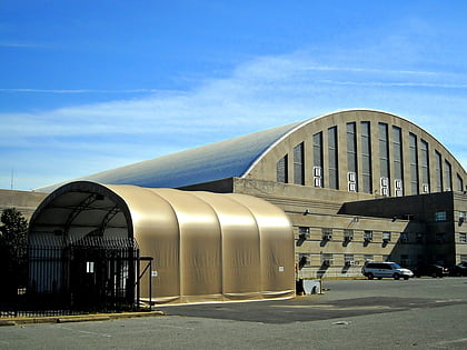
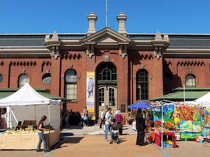
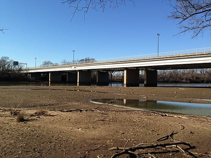
Nearby attractions include: RFK Stadium, D.C. Armory, Eastern Market, Whitney Young Memorial Bridge.
Frequently Asked Questions (FAQ)
Which popular attractions are close to Eastern Methodist Cemetery?
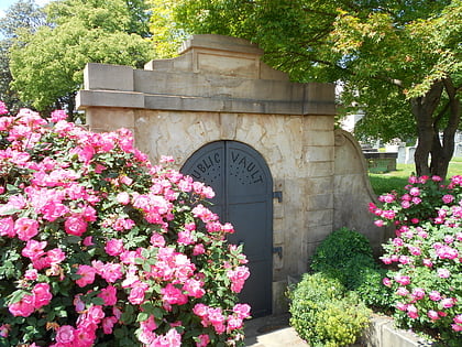
Nearby attractions include Public Vault at the Congressional Cemetery, Washington D.C. (4 min walk), Congressional Cemetery, Washington D.C. (6 min walk), Barney Circle, Washington D.C. (9 min walk), John Philip Sousa Bridge, Washington D.C. (13 min walk).
How to get to Eastern Methodist Cemetery by public transport?
The nearest stations to Eastern Methodist Cemetery:
Metro
Tram
Bus
Metro
- Stadium–Armory • Lines: Bl, Or, Sv (7 min walk)
- Potomac Avenue • Lines: Bl, Or, Sv (9 min walk)
Tram
- Benning Road & 19th Street Northeast • Lines: H Street/Benning Road Streetcar (28 min walk)
- H Street & 13th Street Northeast • Lines: H Street/Benning Road Streetcar (32 min walk)
Bus
- M St SE & 4th St SE • Lines: V4 (32 min walk)
