Bridgeport Harbor, Bridgeport
Map
Map

Facts and practical information
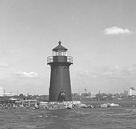
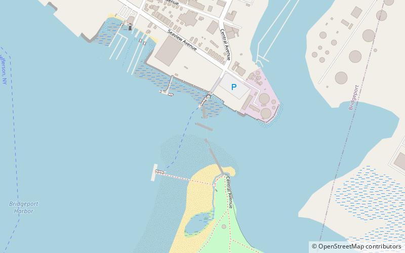
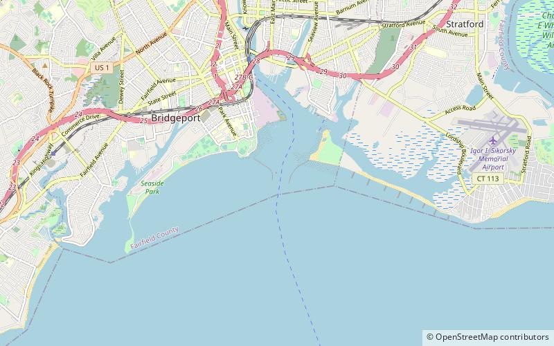
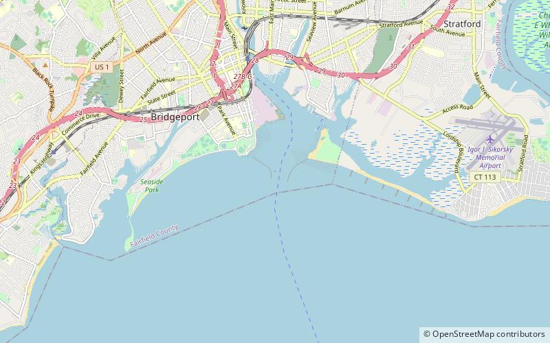
Bridgeport Harbor is an inlet on the north side of Long Island Sound in Bridgeport, Connecticut. It was carved by the retreat of the glaciers during the last ice age approximately 13,000 years ago. ()
Coordinates: 41°9'24"N, 73°10'48"W
Address
Bridgeport
ContactAdd
Social media
Add
Day trips
Bridgeport Harbor – popular in the area (distance from the attraction)
Nearby attractions include: Webster Bank Arena, Seaside Park, Tongue Point Light, Saint George Parish.
Frequently Asked Questions (FAQ)
Which popular attractions are close to Bridgeport Harbor?
Nearby attractions include Bridgeport Harbor Light, Bridgeport (1 min walk), Pleasure Beach, Bridgeport (17 min walk), Tongue Point Light, Bridgeport (18 min walk), Magnus Wahlstrom Library, Bridgeport (20 min walk).


