Mount Hood National Forest: Nature
Places and attractions in the Nature category
Little Crater Lake
Little Crater Lake is a spring-fed lake in the Mount Hood National Forest in Clackamas County, Oregon, United States. It is named after Crater Lake, also in Oregon.
Olallie Scenic Area
Olallie Scenic Area is a United States Forest Service designated scenic area located in Oregon's Cascade Range. It is between Mount Hood on the north and Mount Jefferson to the south and contains Olallie Lake along with several smaller lakes.
Mount Defiance
Mount Defiance is a peak near the Columbia River Gorge in the US state of Oregon. It rises to an elevation of 5,010 feet in the Mark O. Hatfield Wilderness on the Mount Hood National Forest. The peak is in Hood River County, Oregon.
Sherrard Point
Larch Mountain is an extinct volcano near Portland, Oregon. The name is misleading, as no western larch can be found there. It received that name when early lumbermen sold the noble fir wood as larch.
Tom Dick and Harry Mountain
Tom Dick and Harry Mountain is a two-mile-long volcanic mountain in Clackamas County in the U.S. state of Oregon. It is located 7.2 miles southwest of Mount Hood, 1.9 miles west-southwest of Government Camp between the Zigzag River and Still Creek, south of Zigzag Mountain.
Timothy Lake
Timothy Lake is a lake about 50 miles southeast of Portland, Oregon, United States. It is in proximity to Clear Lake and an impoundment of the Oak Grove Fork Clackamas River.
Frog Lake
Frog Lake is a 10-acre lake in Wasco County, Oregon, located south of Mount Hood off U.S. Route 26 between Government Camp and Maupin. The lake is primarily used for recreational purposes, such as camping, boating, fishing, and swimming.
Yocum Falls
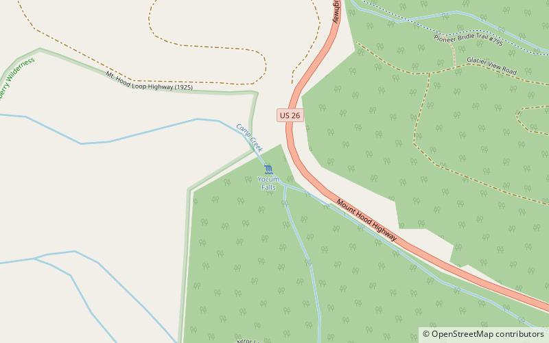
Yocum Falls, is a waterfall located in the heart of the Mount Hood National Forest, in Clackamas County, in the U.S. state of Oregon.
Lake Harriet
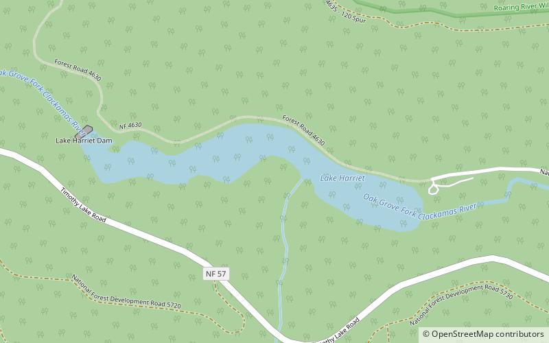
Lake Harriet is a reservoir in Clackamas County of the U.S. state of Oregon. It is an impoundment of the Oak Grove Fork Clackamas River, located 75 kilometres southeast of Portland and 31 kilometres southwest of Government Camp.
Tumala Mountain
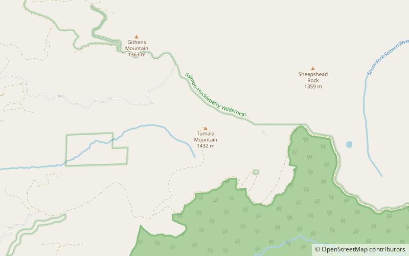
Tumala Mountain is part of the Clackamas Foothills near Mount Hood in the U.S. state of Oregon. It is located in Mount Hood National Forest, near the city of Estacada. The summit has an elevation of 4,773 feet.
Bull Run Lake
Bull Run Lake is a reservoir, an impoundment of the Bull Run River in the U.S. state of Oregon. Providing part of the primary drinking water supply for Portland, Oregon, it rates highly as an oligotrophic lake, a very clean source of water.
Clear Lake
Clear Lake is a mountain lake 53 miles southeast of Portland, Oregon, United States in Mount Hood National Forest. It can be seen from flights in the region as a bird-shaped body of water.
Palmer Glacier
Palmer Glacier is a glacier on the south slopes of Mount Hood in the U.S. state of Oregon. The glacier is situated at an elevation range of 9,300 to 6,200 feet, and was named for Joel Palmer, an Oregon pioneer.
Lost Lake
Lost Lake is a lake in Mount Hood National Forest 16.2 kilometres northwest of Mount Hood in Hood River County in the U.S. state of Oregon. It is 34.4 kilometres southwest of Hood River, a 26.4-mile drive. The lake is bounded on the east by 4,468-foot Lost Lake Butte and on the southwest by 4,556-foot Preachers Peak.
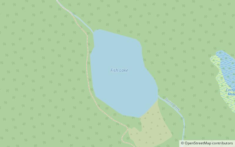
Fish Lake
Fish Lake is a teardrop-shaped lake in Marion County, Oregon, United States. Fish Lake lies at an elevation of 4265 feet. It is in the northern section of the Olallie Scenic Area. Squirrel Creek flows out of the northern part of this lake.
Map


