New Orleans: Neighbourhood
Places and attractions in the Neighbourhood category
Categories
- Museum
- History museum
- Park
- Nightlife
- Specialty museum
- Church
- Historical place
- Theater
- Shopping
- Bridge
- Concerts and shows
- Music venue
- Art museum
- Cemetery
- Neighbourhood
- Canal
- Sacred and religious sites
- Music and shows
- Sport
- Sport venue
- Arenas and stadiums
- Greek Revival architecture
- Street
- Art gallery
- Dancing
- Architecture
- Gothic Revival architecture
- Bars and clubs
- Opera
- Event space
- Skyscraper
- Football
Jackson Barracks
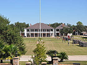
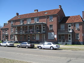
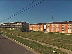
Jackson Barracks is the headquarters of the Louisiana National Guard. It is located in the Lower 9th Ward of New Orleans, Louisiana. The base was established in 1834 and was originally known as New Orleans Barracks. On July 7, 1866, it was renamed in honor of Andrew Jackson.
New Orleans Central Business District
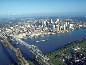
The Central Business District is a neighborhood of the city of New Orleans, Louisiana, United States.
French Quarter
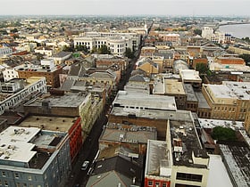
The French Quarter, also known as the Vieux Carré, is the oldest neighborhood in the city of New Orleans. After New Orleans was founded in 1718 by Jean-Baptiste Le Moyne de Bienville, the city developed around the Vieux Carré, a central square.
Fairgrounds
Fairgrounds is a neighborhood of the city of New Orleans. A subdistrict of the Mid-City District Area, its boundaries as defined by the New Orleans City Planning Commission are: Florida Avenue, Dugue, Treasure, Republic and Abundance Streets to the north, North Broad Street to the east, Esplanade Avenue to the south and Bayou St.
Audubon
Audubon is a neighborhood of the city of New Orleans. A subdistrict of the Uptown/Carrollton Area, its boundaries as defined by the New Orleans City Planning Commission are: South Claiborne Avenue to the north, Jefferson Avenue to the east, the Mississippi River and Magazine Street to the south, and Lowerline Street to the west.
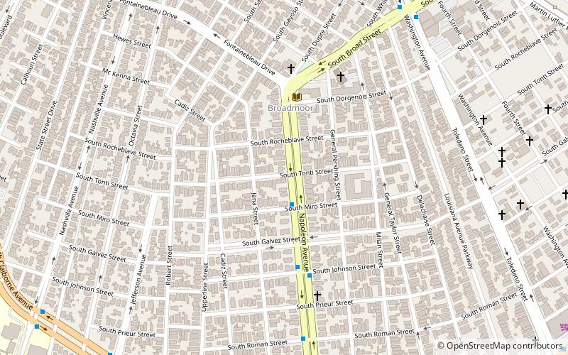
Broadmoor
Broadmoor is a neighborhood of the city of New Orleans. A subdistrict of the Uptown/Carrollton Area, its boundaries as defined by the New Orleans City Planning Commission are: Eve Street to the north, Washington Avenue and Toledano Street to the east, South Claiborne Avenue to...
Mid-City New Orleans
Mid-City is a neighborhood of the city of New Orleans. A sub-district of the Mid-City District Area, its boundaries as defined by the New Orleans City Planning Commission are: City Park Avenue, Toulouse Street, North Carrollton, Orleans Avenue, Bayou St. John and St.
Navarre
Navarre is a neighborhood of the city of New Orleans. A subdistrict of the Lakeview District Area, its boundaries as defined by the City Planning Commission are: I-610, Canal Boulevard and Florida Boulevard to the north, Orleans Avenue to the east, City Park Avenue to the south...
Tremé
Tremé is a neighborhood in New Orleans, Louisiana. "Tremé" is often rendered as Treme, and the neighborhood is sometimes called by its more formal French name, Faubourg Tremé; it is listed in the New Orleans City Planning Districts as Tremé / Lafitte, from when including the Lafitte Projects.
Uptown
Uptown is a primarily residential neighborhood of the city of New Orleans. A subdistrict of the Uptown/Carrollton Area, its boundaries as defined by the New Orleans City Planning Commission are: LaSalle Street to the north, Napoleon Avenue to the east, Magazine Street to the south and Jefferson Avenue to the west.
Lower Garden District
Lower Garden District is a neighborhood of the city of New Orleans. A subdistrict of the Central City/Garden District Area, its boundaries as defined by the New Orleans City Planning Commission are: St.
Hollygrove
Hollygrove is a neighborhood of the city of New Orleans, Louisiana, located in the city's 17th Ward.
East Carrollton
East Carrollton is a neighborhood of the city of New Orleans. A subdistrict of the Uptown/Carrollton Area, its boundaries as defined by the New Orleans City Planning Commission are: Spruce Street to the northeast, Lowerline Street to the southeast, St.
Bywater
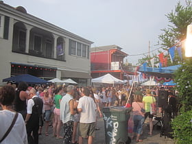
Bywater is a neighborhood of the city of New Orleans. A subdistrict of the Bywater District Area, its boundaries as defined by the City Planning Commission are: Florida Avenue to the north, the Industrial Canal to the east, the Mississippi River to the south, and the railroad tracks along Homer Plessy Way to the west.
Lower Ninth Ward
The Lower Ninth Ward is a neighborhood in the city of New Orleans, Louisiana. As the name implies, it is part of the 9th Ward of New Orleans.
Faubourg Marigny
The Faubourg Marigny is a neighborhood of the city of New Orleans, Louisiana, United States. Its boundaries, as defined by the City Planning Commission, are North Rampart Street and St.
Algiers Point
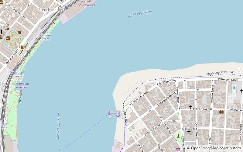
Algiers Point is a location on the Lower Mississippi River in New Orleans, Louisiana. In river pilotage, Algiers Point is simply one of the many points of land around which the river flows—albeit a significant one.
Leonidas
Leonidas is a neighborhood designation in the city of New Orleans. A subdistrict of the Uptown/Carrollton Area, its boundaries as defined by the New Orleans City Planning Commission are: South Claiborne Avenue, Leonidas and Fig Streets to the north, South Carrollton Avenue to...
Gretna Historic District
Gretna Historic District is a historic district in downtown Gretna, Louisiana, roughly bounded by 1st Street, Amelia Street, 9th Street, Gulf Drive, 4th Street and Huey P. Long Avenue.
St. Roch
St. Roch is a neighborhood of the U.S. city of New Orleans. A subdistrict of the Bywater District Area, its boundaries as defined by the City Planning Commission are: Lafreniere Street, Paris Avenue, I-610, Benefit Street, and Dahlia Walk to the north; People's and Almonaster Avenues to the east; St.
Iberville Projects
Iberville Projects was a neighborhood in the city of New Orleans and one of the low-income Housing Projects of New Orleans. The Iberville was the last of the New Deal-era public housing remaining in the city. Its boundaries were St. Louis Street, Basin Street, Iberville Street, and North Claiborne Avenue.
Irish Channel
Irish Channel is a neighborhood of the city of New Orleans. A subdistrict of the Central City/Garden District Area, its boundaries as defined by the Historic District Landmarks Commission are: Magazine Street to the north, Jackson Avenue to the east, the Mississippi River to the south and Delachaise Street to the west.
Freret
Freret is a neighborhood of the city of New Orleans. The Freret neighborhood contains a thriving commercial corridor.
Bayou St. John
Bayou St. John is a neighborhood of the city of New Orleans. A subdistrict of the Mid-City area, its boundaries as defined by the New Orleans City Planning Commission are: Esplanade Avenue to the north, North Broad Street to the east, St.
St. Bernard Projects
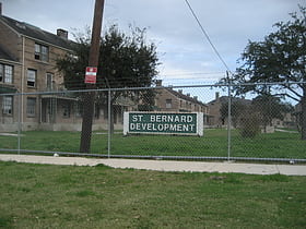
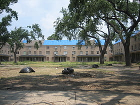
St. Bernard Projects was a housing project in the city of New Orleans. A subdistrict of the Mid-City District Area, its boundaries as defined by the New Orleans City Planning Commission were: Harrison Avenue to the north, Paris Avenue to the east, Lafreniere Street and Florida Avenue to the south and Bayou St.
Milneburg
Milneburg is a neighborhood of the city of New Orleans. A subdistrict of the Gentilly District Area, its boundaries as defined by the City Planning Commission are: Leon C.
Faubourg St. John
Faubourg St. John, is a neighborhood in New Orleans, Louisiana, located just north of Broad Street at the intersection of Orleans Avenue. Faubourg St. John is approximately 75 city blocks in area and has an average elevation of about one foot above sea level. It was built along what is known as the Esplanade Ridge.
Magnolia Projects
The Magnolia Projects, officially the C. J. Peete Public Housing Development, was one of the Housing Projects of New Orleans. As part of the ongoing redevelopment, the area has been renamed Harmony Oaks.
Carrollton
Carrollton is a historic neighborhood of Uptown New Orleans, Louisiana, USA, which includes the Carrollton Historic District, recognized by the Historic District Landmark Commission. It is the part of Uptown New Orleans farthest upriver while still being easily accessible to the French Quarter.
Lake Terrace/Lake Oaks
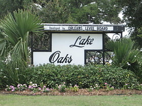
Lake Terrace/Lake Oaks is a neighborhood of the city of New Orleans, Louisiana. A sub-district of the city's Gentilly District, its boundaries as defined by the City Planning Commission are: Lake Pontchartrain to the north; the Industrial Canal to the east; Leon C.
Michoud
Michoud is an area in Eastern New Orleans, part of the Ninth Ward of New Orleans, Louisiana, located at latitude 30.03°N, longitude −89.925°W.
Belle Chasse–Scarsdale Ferry
The Belle Chasse–Scarsdale Ferry is a ferry across the Mississippi River in the U.S. state of Louisiana, connecting Belle Chasse and Scarsdale and is maintained by Plaquemines Parish. It carries a $1 toll for 2-axle vehicles, $2 for vehicles with at least 3 axles, and $.50 for motorcycles.
Pontchartrain Park
Pontchartrain Park is a neighborhood of the city of New Orleans. A subdistrict of the Gentilly District Area, its boundaries as defined by the City Planning Commission are: Leon C. Simon Drive to the north, the Industrial Canal to the east, Dreux Avenue to the south and Peoples Avenue to the west.
Fischer Projects
The William J. Fischer Housing Development, better known as the Fischer Projects, was a housing project in Algiers, New Orleans, Louisiana, United States. It was known notoriously for a series of high-profile murders in the 1970s and 1980s.
Gentilly Woods
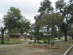
Gentilly Woods is a neighborhood of the city of New Orleans. A subdistrict of the Gentilly District Area, its boundaries as defined by the City Planning Commission are: Dreux Avenue to the north, Industrial Canal to the east, Gentilly Boulevard to the south and People's Avenue to the west.
Seventh Ward
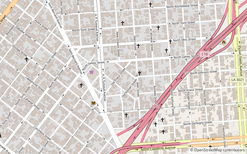
The Seventh Ward is a neighborhood of the city of New Orleans. A sub-district of the Mid-City District Area, its boundaries as defined by the New Orleans City Planning Commission are: A.P. Tureaud Avenue, Agriculture, Allen, Industry, St.
Gentilly Terrace
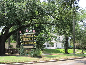
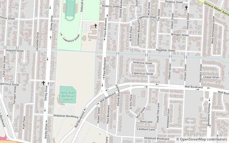
Gentilly Terrace is a neighborhood of the city of New Orleans. A subdistrict of the Gentilly District Area, its boundaries as defined by the City Planning Commission are: Filmore Avenue to the north, People's Avenue to the east, Dahlia Walk and Benefit Street to the south and Elysian Fields Avenue to the west.
Behrman
Behrman also known as "Behrman Heights," is a crime-ridden low income community located in Algiers, New Orleans It was named after popular New Orleans mayor Martin Behrman, and is nestled south of the US Naval Support neighborhood and north of Tall Timbers/Brechtel, flanked on...
West Riverside
West Riverside is a neighborhood of the city of New Orleans. A subdistrict of the Uptown/Carrollton Area, its boundaries as defined by the New Orleans City Planning Commission are: Magazine Street to the north, Napoleon Avenue to the east, the Mississippi River to the south and Exposition, Tchoupitoulas and Webster Streets to the west.
Filmore
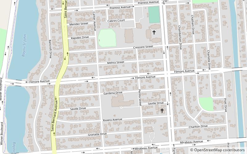
Filmore is a neighborhood of the city of New Orleans. A subdistrict of the Gentilly District Area, its boundaries as defined by the City Planning Commission are: Robert E. Lee Boulevard to the north, London Avenue Canal to the east, Press Drive, Paris Avenue and Harrison Avenue to the south and Bayou St. John to the west.
Tulane/Gravier
Tulane/Gravier is a neighborhood of the city of New Orleans, Louisiana, U.S.A. A subdistrict of the Mid-City District Area, its boundaries as defined by the New Orleans City Planning Commission are: St.
East Riverside
East Riverside is a neighborhood of the city of New Orleans. A subdistrict of the Central City/Garden District Area, its boundaries as defined by the City Planning Commission are: Magazine Street to the north, Toledano Street to the east, Tchoupitoulas Street to the south and Napoleon Avenue to the west.
McDonoghville
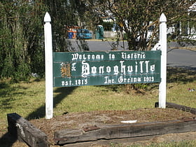
McDonogh, is a community of Algiers, New Orleans, Louisiana and Gretna, Louisiana.
Melpomene Projects
The Melpomene Projects, officially called the Gustavo Apartments, is located in Central City New Orleans and is one of the Housing Projects of New Orleans.
Algiers
Algiers is a historic neighborhood of New Orleans and is the only Orleans Parish community located on the West Bank of the Mississippi River. Algiers is known as the 15th Ward, one of the 17 Wards of New Orleans. It was once home to many jazz musicians and is also the second oldest neighborhood in the city.
Map

