Parsons Field, Boston
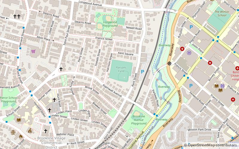
Map
Facts and practical information
Parsons Field is a 7,000-seat multi-purpose stadium in Brookline, Massachusetts. It is home to the Northeastern University baseball, men's and women's soccer, men's and women's lacrosse, men's and women's rugby as well as the Brookline High School Warriors football team. Additionally, the stadium was the home of the Northeastern Huskies football team until it was disbanded following the 2009 season. The capacity for baseball is 3,000. The facility opened in 1933. ()
Coordinates: 42°20'13"N, 71°6'51"W
Address
Brookline (Coolidge Corner)Boston
ContactAdd
Social media
Add
Getting there by public transportation
Public transportation stops near this location
- Metro
- Bus
- Light rail
- Train
 Metro
Metro
- Calculate routeBrookline Village 9 min walk
- Calculate routeMission Park 10 min walk
- Calculate routeLongwood 10 min walk
- Calculate routeRiverway 10 min walk
- Calculate routeLongwood Ave @ Brookline Ave 10 min walk
- Calculate routeBrookline Ave @ Short St 13 min walk
- Calculate routeAve Louis Pasteur @ Longwood Ave 16 min walk
- Calculate routeRoxbury Crossing 27 min walk
- Calculate routeJackson Square 32 min walk
- Calculate routeLansdowne 27 min walk
Maps MBTA Subway
MBTA SubwayDay trips
Parsons Field – popular in the area (distance from the attraction)
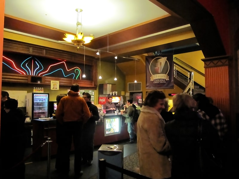
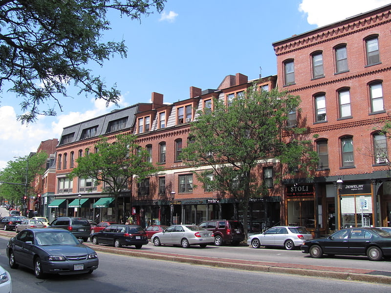
Nearby attractions include: Agganis Arena, Coolidge Corner Theatre, Tsai Performance Center, Brookline Village.


Frequently Asked Questions (FAQ)
Which popular attractions are close to Parsons Field?
Nearby attractions include James H. Standish House, Boston (4 min walk), William Ingersoll Bowditch House, Boston (5 min walk), Brookline Avenue, Boston (5 min walk), House at 53 Linden Street, Boston (6 min walk).
How to get to Parsons Field by public transport?
The nearest stations to Parsons Field:
Light rail
Bus
Metro
Train
Light rail
- Brookline Village • Lines: D (9 min walk)
- Mission Park • Lines: E (10 min walk)
Bus
- Longwood Ave @ Brookline Ave • Lines: 8 (10 min walk)
- Brookline Ave @ Short St • Lines: 8 (13 min walk)
Metro
- Roxbury Crossing • Lines: Orange (27 min walk)
- Jackson Square • Lines: Orange (32 min walk)
Train
- Lansdowne (27 min walk)