Rhode Island Jewish Historical Association, Providence

Facts and practical information
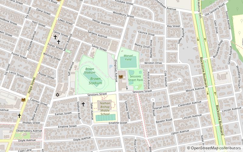
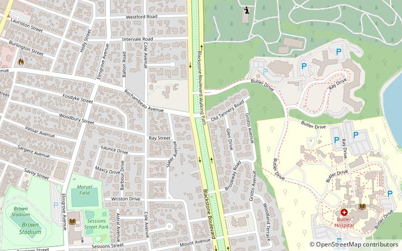
Rhode Island Jewish Historical Association (address: 401 Elmgrove Ave) is a place located in Providence (Rhode Island state) and belongs to the category of library, specialty museum, museum.
It is situated at an altitude of 98 feet, and its geographical coordinates are 41°50'32"N latitude and 71°23'32"W longitude.
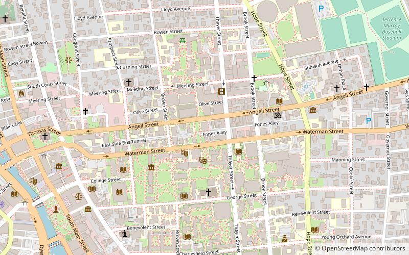
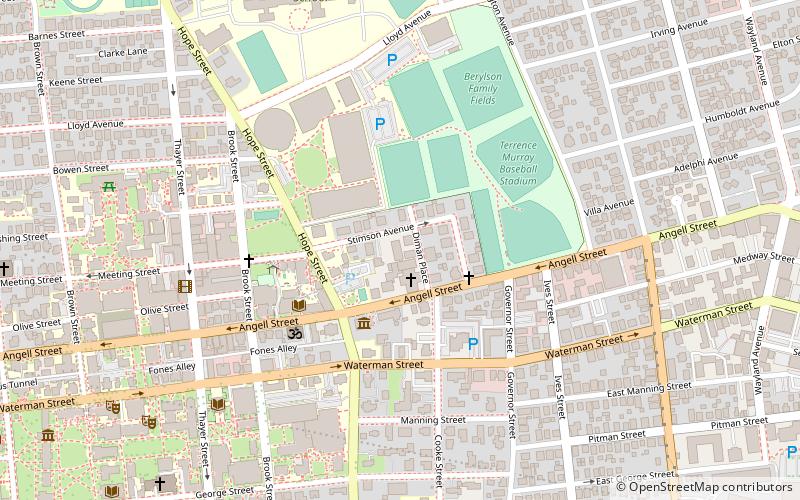
Planning a visit to this place, one can easily and conveniently get there by public transportation. Rhode Island Jewish Historical Association is a short distance from the following public transport stations: Peter Pan Bus Lines Terminal (bus, 29 min walk), Providence (train, 36 min walk).
Among other places and attractions worth visiting in the area are: Richard Gouse Field at Brown Stadium (sport venue, 3 min walk), Elmgrove Gardens Historic District (neighbourhood, 7 min walk), Freeman Plat Historic District (neighbourhood, 8 min walk).
401 Elmgrove AveBlackstoneProvidence 02906-3451
- Bus
- Train
 Bus
Bus
- Calculate routePeter Pan Bus Lines Terminal 29 min walk
- Calculate routeMemorial and Exchange 38 min walk
- Calculate routeKennedy Plaza Stop Y 39 min walk
- Calculate routeExchange Terrace Stop X 39 min walk
- Calculate routeProvidence 36 min walk
Rhode Island Jewish Historical Association – popular in the area (distance from the attraction)
Nearby attractions include: Governor Henry Lippitt House, Avon Cinema, Central Congregational Church, Rites and Reason Theatre.


Frequently Asked Questions (FAQ)
Which popular attractions are close to Rhode Island Jewish Historical Association?
How to get to Rhode Island Jewish Historical Association by public transport?
Bus
- Peter Pan Bus Lines Terminal (29 min walk)
- Memorial and Exchange • Lines: 12x, 14, 21, 30, 65x, 95x (38 min walk)
Train
- Providence (36 min walk)