Beechview, Pittsburgh
Map
Facts and practical information
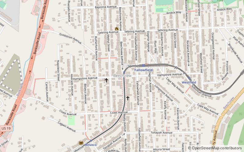
Beechview is a neighborhood in Pittsburgh, Pennsylvania's southwestern side. It has a zip code of 15216, and has representation on Pittsburgh City Council by both the council member for District 4 and for District 2. Beechview was founded in 1905 after the introduction of a comprehensive light rail transit system. It is Pittsburgh Fire Bureau Zone 4-10 and houses Engine Company #28. It is located in Zone 6 for Pittsburgh Police. While Beechview took an economic downturn in the late 20th century, its proximity to downtown Pittsburgh, convenient access to light rail transit, sweeping vistas and new businesses have allowed Beechview to stabilize economically. ()
Area: 1.46 mi²Coordinates: 40°24'38"N, 80°1'29"W
Address
South Side (Beechview)Pittsburgh
ContactAdd
Social media
Add
Getting there by public transportation
Public transportation stops near this location
- Bus
- Light rail
 Bus
Bus
- Calculate routeHampshire 1 min walk
- Calculate routeFallowfield 3 min walk
- Calculate routeWestfield 7 min walk
- Calculate routeBelasco 7 min walk
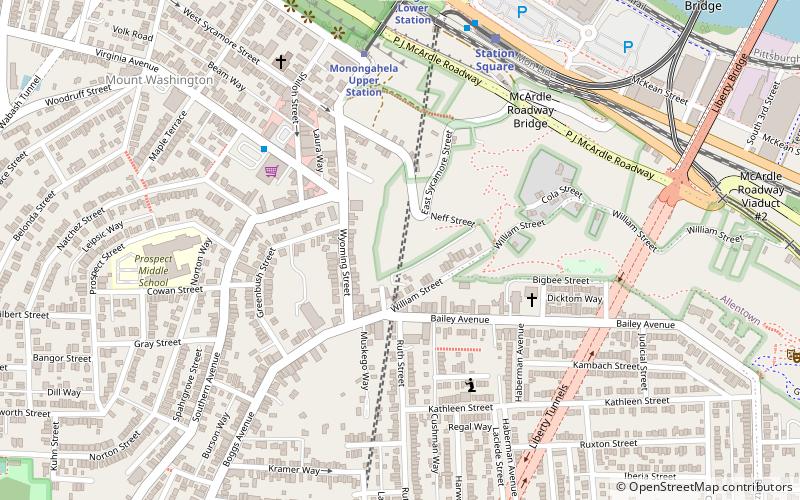
- Calculate routeDawn 20 min walk
- Calculate routePalm Garden 21 min walk
- Calculate routeBoggs Avenue at Soffel St 25 min walk
- Calculate routeSouth Hills Junction 31 min walk
Day trips


Frequently Asked Questions (FAQ)
Which popular attractions are close to Beechview?
Nearby attractions include Canton Avenue, Pittsburgh (8 min walk), Banksville, Pittsburgh (19 min walk), South Busway, Pittsburgh (21 min walk).
How to get to Beechview by public transport?
The nearest stations to Beechview:
Light rail
Bus
Light rail
- Hampshire • Lines: Red (1 min walk)
- Fallowfield • Lines: Red (3 min walk)
Bus
- Dawn (20 min walk)
- Palm Garden (21 min walk)