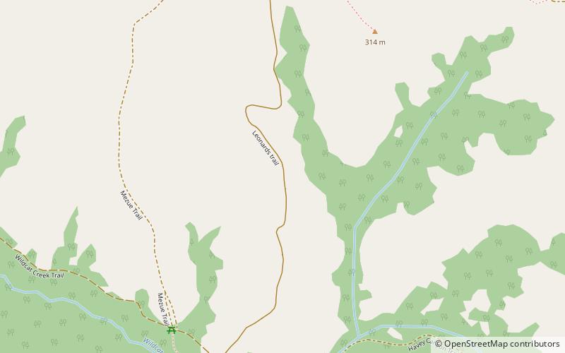
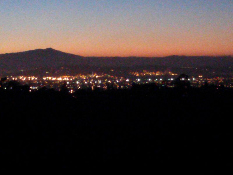
Wildcat Canyon Regional Park, Richmond

Gallery (2)
Map
Map
Gallery
Facts and practical information
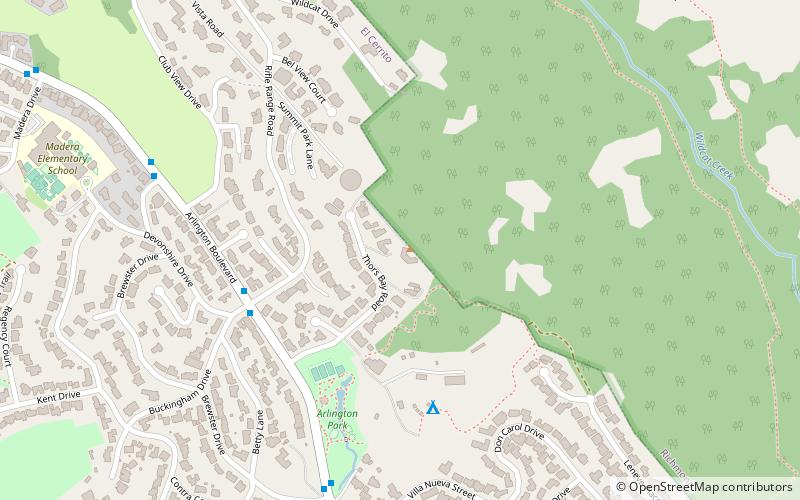
Wildcat Canyon Regional Park is a 2,429-acre East Bay Regional Parks District park located within the city limits of Richmond in Contra Costa County in the San Francisco Bay Area of California. It includes a portion of Wildcat Canyon as well as a portion of the adjoining San Pablo Ridge, and is directly connected to the more heavily used Tilden Regional Park. ()
Elevation: 633 ft a.s.l.Coordinates: 37°56'21"N, 122°17'20"W
Getting there by public transportation
Public transportation stops near this location
- Bus
 Bus
Bus
- Calculate routeArlington Boulevard & Madera Drive 23 min walk
- Calculate route1525 Arlington Boulevard 23 min walk
Day trips


Frequently Asked Questions (FAQ)
How to get to Wildcat Canyon Regional Park by public transport?
The nearest stations to Wildcat Canyon Regional Park:
Bus
Bus
- Arlington Boulevard & Madera Drive • Lines: 7 (23 min walk)
- 1525 Arlington Boulevard • Lines: 7 (23 min walk)