Vargas Plateau Regional Park, Fremont

Gallery (1)
Map
Map
Facts and practical information
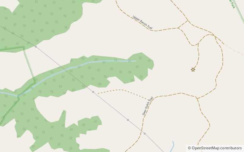
Vargas Plateau Regional Park sits on a plateau in the Fremont Hills of Alameda County, California that overlooks the San Francisco Bay, Niles Canyon, and the cities of Fremont, Union City and Newark. The elevation of the park is about 1,000 feet, making it an important link with nearby ridge-top parks such as Garin Regional Park, Pleasanton Ridge Regional Park, Mission Peak Regional Preserve, and Sunol Regional Wilderness. ()
Created: 2010Elevation: 1033 ft a.s.l.Coordinates: 37°34'55"N, 121°56'35"W
Address
Fremont
ContactAdd
Social media
Add
Getting there by public transportation
Public transportation stops near this location
- Bus
 Bus
Bus
- Calculate routeMission Boulevard & Walnut Avenue 39 min walk
- Calculate routeWalnut Avenue & Mission Boulevard 40 min walk
- Calculate routeWalnut Avenue & Overacker Avenue 41 min walk
Day trips


Frequently Asked Questions (FAQ)
How to get to Vargas Plateau Regional Park by public transport?
The nearest stations to Vargas Plateau Regional Park:
Bus
Bus
- Mission Boulevard & Walnut Avenue • Lines: 232 (39 min walk)
- Walnut Avenue & Mission Boulevard • Lines: 217 (40 min walk)