Maspeth, New York City

Gallery (9)
Map


Map

Gallery
Facts and practical information
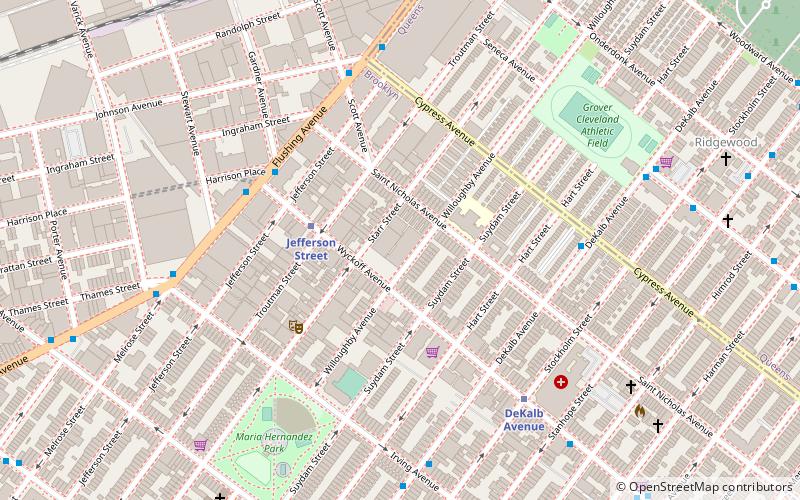
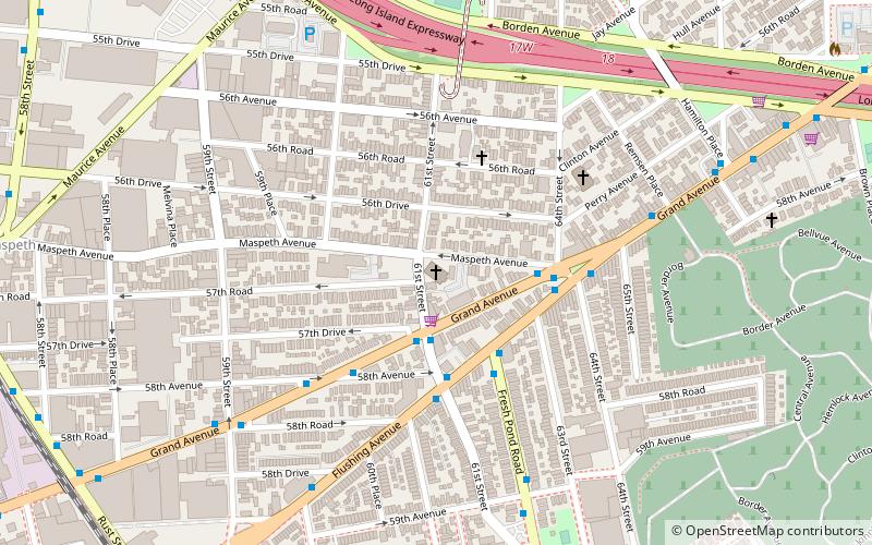
Maspeth is a residential and commercial community in the borough of Queens in New York City. It was founded in the early 17th century by Dutch and English settlers. Neighborhoods sharing borders with Maspeth are Woodside to the north; Sunnyside to the northwest; Greenpoint, Brooklyn to the west; East Williamsburg, Brooklyn to the southwest; Fresh Pond and Ridgewood to the south; and Middle Village and Elmhurst to the east. ()
Coordinates: 40°43'24"N, 73°54'45"W
Address
Northwestern Queens (Maspeth)New York City
ContactAdd
Social media
Add
Getting there by public transportation
Public transportation stops near this location
- Metro
- Bus
 Metro
Metro
- Calculate routeFresh Pond Road & Flushing Avenue 14 min walk
- Calculate routeFlushing Avenue & Grand Avenue 15 min walk
- Calculate routeJefferson Street 33 min walk
- Calculate routeFresh Pond Road 38 min walk
Maps SubwayMaps
 Manhattan Buses
SubwayMapsManhattan BusesDay trips


Frequently Asked Questions (FAQ)
Which popular attractions are close to Maspeth?
Nearby attractions include St. Stanislaus Kostka Roman Catholic Church, New York City (12 min walk), Transfiguration Roman Catholic Church, New York City (16 min walk), Triangle 54, New York City (16 min walk), Grand Street Bridge, New York City (18 min walk).
How to get to Maspeth by public transport?
The nearest stations to Maspeth:
Bus
Metro
Bus
- Fresh Pond Road & Flushing Avenue • Lines: Q58 (14 min walk)
- Flushing Avenue & Grand Avenue • Lines: Q58 (15 min walk)
Metro
- Jefferson Street • Lines: L (33 min walk)
- Fresh Pond Road • Lines: M (38 min walk)