Metropolitan Avenue, New York City

Gallery (5)
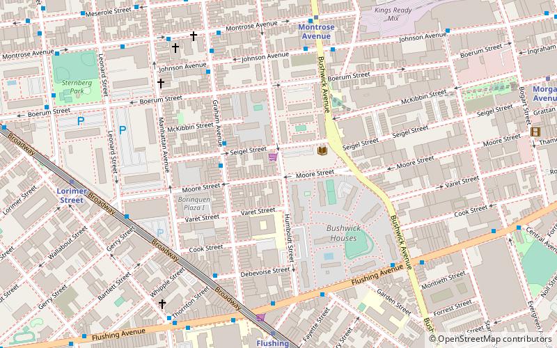
Map


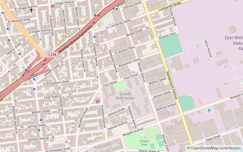
Map

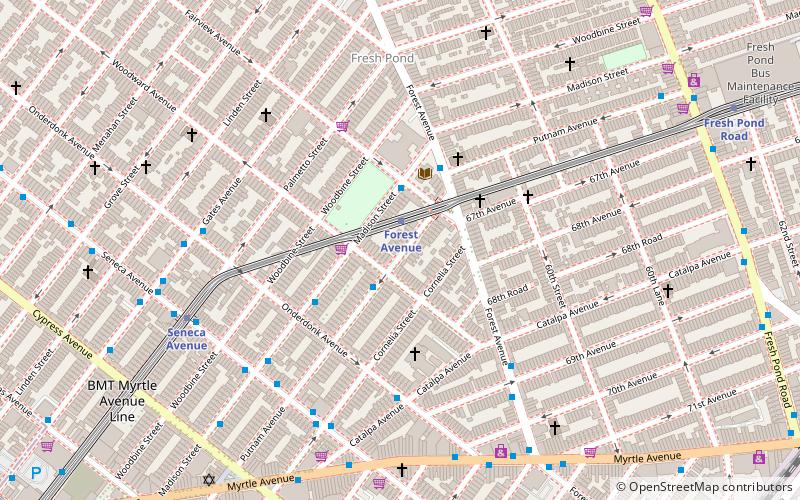
Gallery
Facts and practical information
Metropolitan Avenue is a major east-west street in Queens and northern Brooklyn, New York City. Its western end is at the East River in Williamsburg, Brooklyn, and the eastern end at Jamaica Avenue in Jamaica, Queens. The avenue was constructed in 1816 as the Williamsburgh and Jamaica Turnpike, though previously it served as an Indian trail. ()
Coordinates: 40°42'49"N, 73°55'10"W
Address
Northern Brooklyn (Maspeth)New York City
ContactAdd
Social media
Add
Getting there by public transportation
Public transportation stops near this location
- Metro
- Bus
 Metro
Metro
- Calculate routeJefferson Street 14 min walk
- Calculate routeDeKalb Avenue 19 min walk
- Calculate routeFresh Pond Road & 60th Avenue 25 min walk
Maps SubwayMaps
 Manhattan Buses
SubwayMapsManhattan BusesDay trips
Metropolitan Avenue – popular in the area (distance from the attraction)
Nearby attractions include: Kosciuszko Bridge, Maria Hernandez Park, St. Matthias Roman Catholic Church, Transfiguration Roman Catholic Church.


Frequently Asked Questions (FAQ)
Which popular attractions are close to Metropolitan Avenue?
Nearby attractions include Boroughs of New York City, New York City (5 min walk), Vander Ende–Onderdonk House, New York City (5 min walk), Flushing Avenue, New York City (6 min walk), Grand Street Bridge, New York City (7 min walk).
How to get to Metropolitan Avenue by public transport?
The nearest stations to Metropolitan Avenue:
Metro
Bus
Metro
- Jefferson Street • Lines: L (14 min walk)
- DeKalb Avenue • Lines: L (19 min walk)
Bus
- Fresh Pond Road & 60th Avenue • Lines: Q58 (25 min walk)