Crook Point Bascule Bridge, Providence
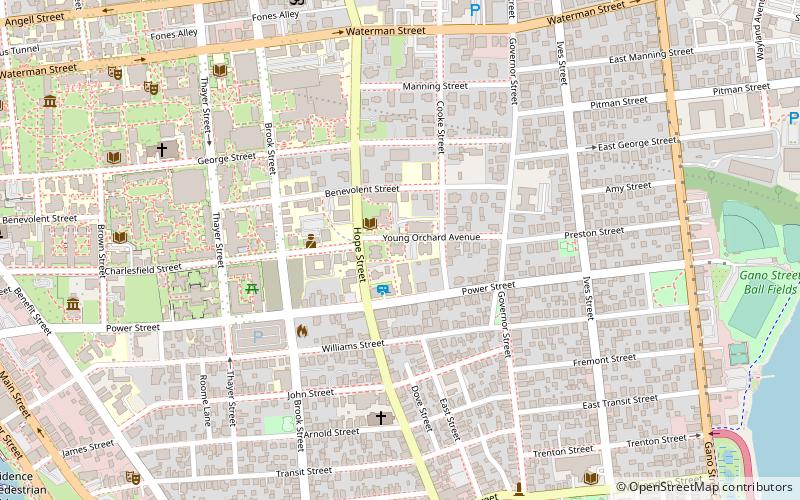
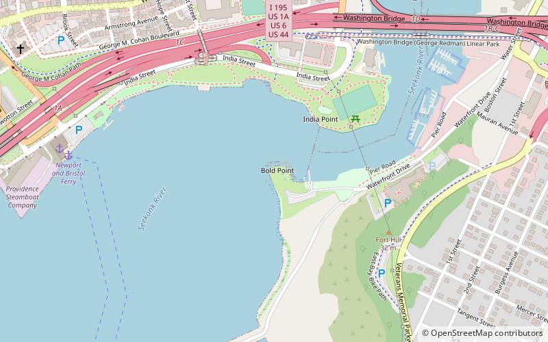
Map
Gallery
Facts and practical information
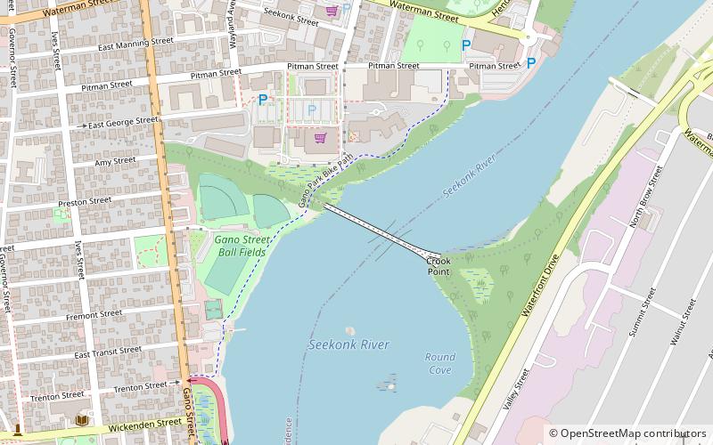
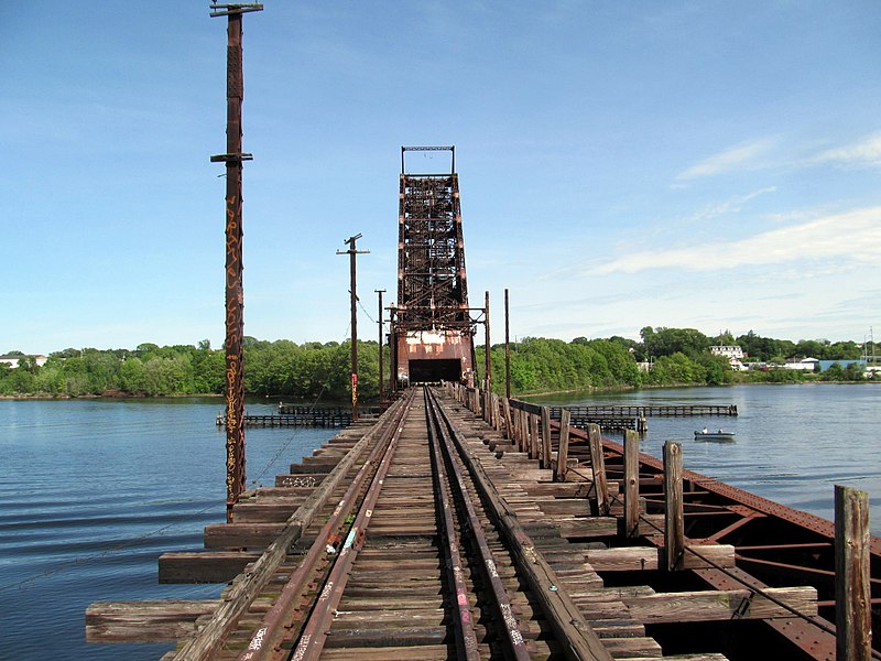
The Crook Point Bascule Bridge is a defunct Scherzer rolling lift railway bridge which spans the Seekonk River, connecting the city of Providence, Rhode Island, to the city of East Providence. Stuck in the open position since its abandonment in 1976, it is known to nearby residents as the "Stuck-Up Bridge" and has become somewhat of a local icon of urban decay. ()
Opened: 1908 (118 years ago)Length: 850 ftCoordinates: 41°49'26"N, 71°23'8"W
Address
Fox PointProvidence
ContactAdd
Social media
Add
Day trips
Crook Point Bascule Bridge – popular in the area (distance from the attraction)
Nearby attractions include: Wickenden Street, Rhode Island Historical Society, Bold Point Park, Governor Henry Lippitt House.
Frequently Asked Questions (FAQ)
Which popular attractions are close to Crook Point Bascule Bridge?
Nearby attractions include Washington Bridge, Providence/East Providence (9 min walk), Wayland Square, Providence (12 min walk), Wayland, Providence (13 min walk), Fox Point, Providence (13 min walk).
How to get to Crook Point Bascule Bridge by public transport?
The nearest stations to Crook Point Bascule Bridge:
Bus
Bus
- Eddy and Borden • Lines: 3, 3A, 3B (36 min walk)

