Addams/Medill Park, Chicago
Map
Facts and practical information
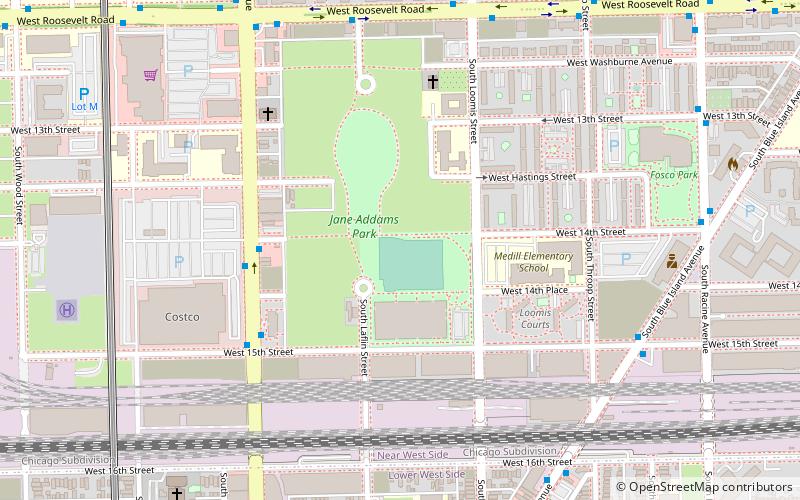
Addams/Medill Park is a public park in Chicago named after Jane Addams and Medill Elementary School. It is located in Little Italy. ()
Elevation: 591 ft a.s.l.Coordinates: 41°51'47"N, 87°39'47"W
Address
West Side (Near West Side)Chicago
ContactAdd
Social media
Add
Getting there by public transportation
Public transportation stops near this location
- Metro
- Bus
- Train
 Metro
Metro
- Calculate routeAshland & 14th Street 5 min walk
- Calculate routeRoosevelt & Laflin 7 min walk
- Calculate route18th 13 min walk
- Calculate routePolk 17 min walk
- Calculate routeRacine 24 min walk
- Calculate routeDamen 24 min walk
- Calculate routeHalsted Street 21 min walk
- Calculate routeWestern Avenue 31 min walk
Maps Rail "L"
Rail "L"Day trips
Addams/Medill Park – popular in the area (distance from the attraction)
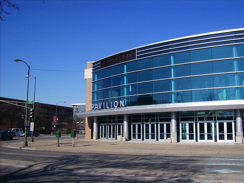
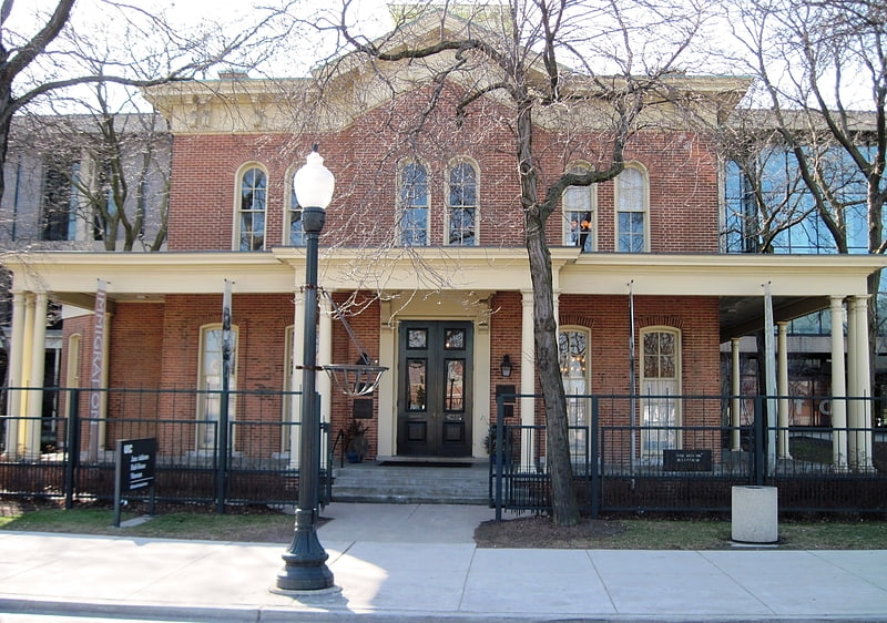
Nearby attractions include: UIC Pavilion, Jane Addams Hull-House Museum, National Museum of Mexican Art, National Italian American Sports Hall of Fame.


Frequently Asked Questions (FAQ)
Which popular attractions are close to Addams/Medill Park?
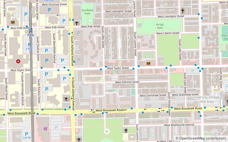
Nearby attractions include Otis Elevator Company Factory Building, Chicago (4 min walk), St. Adalbert's in Chicago, Chicago (10 min walk), National Italian American Sports Hall of Fame, Chicago (11 min walk), South Water Market, Chicago (12 min walk).
How to get to Addams/Medill Park by public transport?
The nearest stations to Addams/Medill Park:
Bus
Metro
Train
Bus
- Ashland & 14th Street • Lines: 9, (N) N9 (5 min walk)
- Roosevelt & Laflin • Lines: 12 (7 min walk)
Metro
- 18th • Lines: Pink (13 min walk)
- Polk • Lines: Pink (17 min walk)
Train
- Halsted Street (21 min walk)
- Western Avenue (31 min walk)