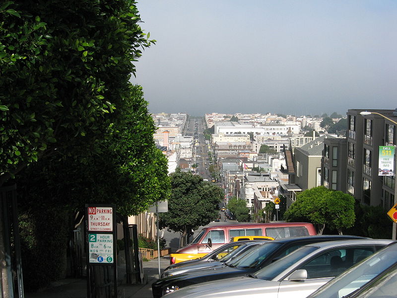
Fillmore Street, San Francisco

Gallery (2)
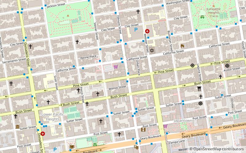
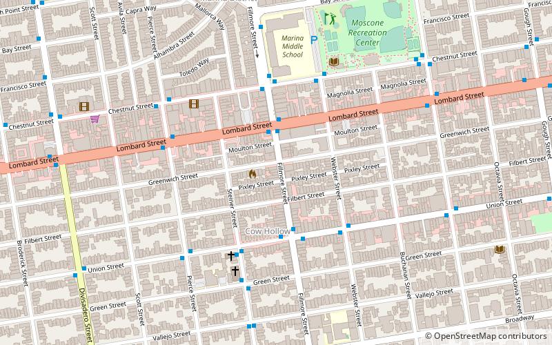
Map
Map
Gallery
Facts and practical information
Fillmore Street is a street in San Francisco, California which starts in the Lower Haight neighborhood and travels northward through the Fillmore District and Pacific Heights and ends in the Marina District. It serves as the main thoroughfare and namesake for the Fillmore District neighborhood. The street is named after American President Millard Fillmore. ()
Coordinates: 37°47'17"N, 122°26'2"W
Getting there by public transportation
Public transportation stops near this location
- Metro
- Bus
- Trolleybus
- Tram
- Light rail
 Metro
Metro
- Calculate routeFillmore Street & Pine Street 1 min walk
- Calculate routeSteiner Street & California Street 3 min walk
- Calculate routeSacramento Street & Fillmore Street 4 min walk
- Calculate routeGeary Boulevard & Fillmore Street 7 min walk
- Calculate routeGeary Boulevard & Webster Street 7 min walk
- Calculate routeCalifornia Street & Van Ness Avenue 18 min walk
- Calculate routeCalifornia Street & Polk Street 20 min walk
- Calculate routeCalifornia Street & Larkin Street 22 min walk
- Calculate routeCalifornia Street & Hyde Street 24 min walk
- Calculate routeVan Ness 31 min walk
- Calculate routeCivic Center 32 min walk
- Calculate routeCivic Center 32 min walk
Maps Muni Metro
Muni MetroDay trips


Frequently Asked Questions (FAQ)
Which popular attractions are close to Fillmore Street?
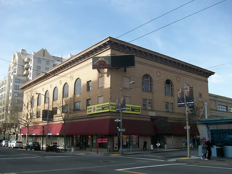
Nearby attractions include Congregation Sherith Israel, San Francisco (4 min walk), St. Dominic's Catholic Church, San Francisco (5 min walk), Japantown, San Francisco (7 min walk), The Fillmore, San Francisco (7 min walk).
How to get to Fillmore Street by public transport?
The nearest stations to Fillmore Street:
Trolleybus
Bus
Tram
Light rail
Metro
Trolleybus
- Fillmore Street & Pine Street • Lines: 22 (1 min walk)
- Steiner Street & California Street • Lines: 1 (3 min walk)
Bus
- Geary Boulevard & Fillmore Street • Lines: 38, 38R (7 min walk)
- Geary Boulevard & Webster Street • Lines: 38 (7 min walk)
Tram
- California Street & Van Ness Avenue (18 min walk)
- California Street & Polk Street (20 min walk)
Light rail
- Van Ness • Lines: K, N, S, T (31 min walk)
- Civic Center • Lines: K, N, S, T (32 min walk)
Metro
- Civic Center • Lines: Blue, Green, Red, Yellow (32 min walk)