Henderson Bridge, Providence/East Providence
Map
Map

Facts and practical information
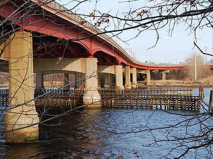
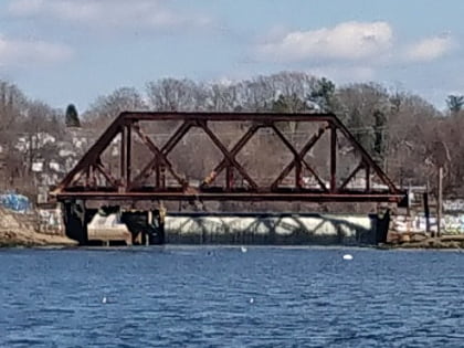
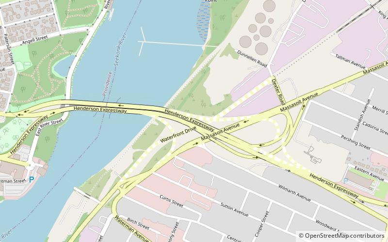
The Henderson Bridge is a bridge in Rhode Island which spans the Seekonk River, and connects the East Side neighborhood of Providence with the Watchemoket and Phillipsdale neighborhoods of East Providence. ()
Opened: 1969 (57 years ago)Length: 2050 ftWidth: 97 ftCoordinates: 41°49'44"N, 71°22'27"W
Address
Henderson ExpresswayProvidence/East Providence
ContactAdd
Social media
Add
Day trips
Henderson Bridge – popular in the area (distance from the attraction)
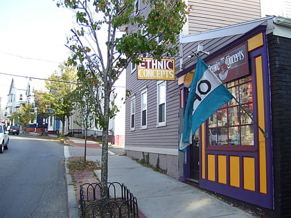
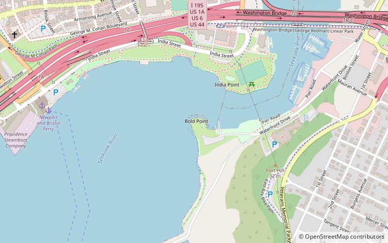
Nearby attractions include: Wickenden Street, Rhode Island Historical Society, Bold Point Park, Governor Henry Lippitt House.
Frequently Asked Questions (FAQ)
Which popular attractions are close to Henderson Bridge?
Nearby attractions include Blackstone Park Historic District, Providence (12 min walk), Temple Beth-El, Providence (16 min walk), Wayland, Providence (16 min walk), Saint Martin's Church, Providence (17 min walk).
