Gwynns Falls, Baltimore
Map
Facts and practical information
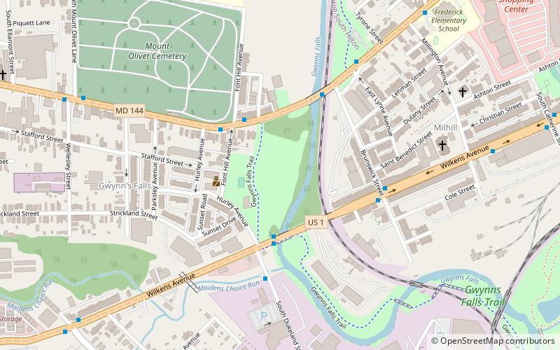
Gwynns Falls is a 24.9-mile-long stream located in Baltimore County and Baltimore City, Maryland. Its headwaters are located in Reisterstown in Baltimore County, and the stream flows southeast, entering the city of Baltimore and emptying into the Middle Branch of the Patapsco River. The Patapsco drains into the Chesapeake Bay. The watershed area of Gwynns Falls covers 66 square miles, with 133 miles of streams. ()
Elevation: 39 ft a.s.l.Coordinates: 39°16'43"N, 76°39'42"W
Address
Southwestern Baltimore (Gwynns Falls)Baltimore
ContactAdd
Social media
Add
Getting there by public transportation
Public transportation stops near this location
- Bus
- Train
 Bus
Bus
- Calculate routeWest Baltimore 29 min walk
- Calculate routeWest Baltimore 29 min walk
Day trips


Frequently Asked Questions (FAQ)
Which popular attractions are close to Gwynns Falls?
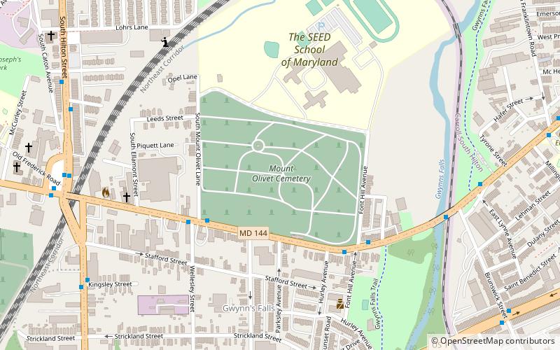
Nearby attractions include Mount Olivet Cemetery, Baltimore (8 min walk), Carrollton Viaduct, Baltimore (11 min walk), Loudon Park National Cemetery, Baltimore (19 min walk), Saint Agnes, Baltimore (19 min walk).
How to get to Gwynns Falls by public transport?
The nearest stations to Gwynns Falls:
Train
Bus
Train
- West Baltimore (29 min walk)
Bus
- West Baltimore • Lines: 77, 78, Or, Pk (29 min walk)