Kansas City Southern Bridge, Kansas City

Map
Facts and practical information
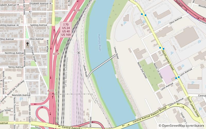
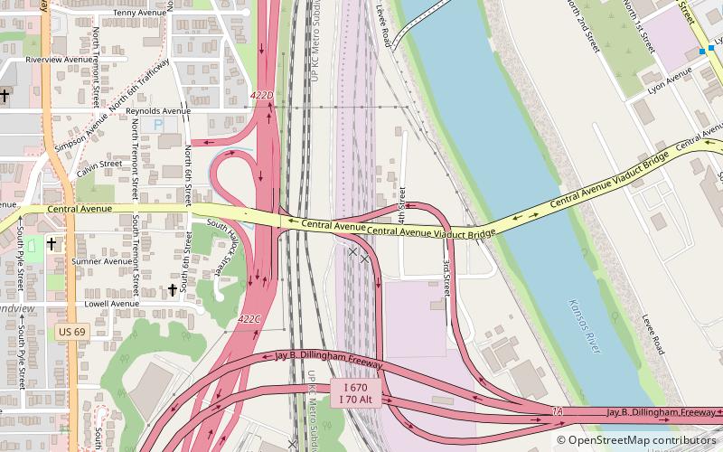
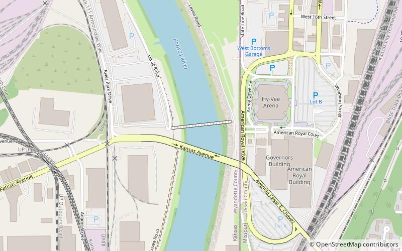
The Kansas City Southern Bridge is a rail crossing of the Kansas River. It has two main spans, and a smaller span at the west end. It is a thru-truss, and closed to traffic. It was built in 1905, by the Kansas City Southern Railway, and was closed in 1983. The bridge's rails are cut off at each end. It survived the 1951 Kansas City flood. It is located about 100 feet south of James Street over the Kansas River. ()
Opened: 1905 (121 years ago)Coordinates: 39°6'23"N, 94°37'2"W
Address
Downtown Kansas City (Central Industrial District)Kansas City
ContactAdd
Social media
Add
Day trips
Kansas City Southern Bridge – popular in the area (distance from the attraction)
Nearby attractions include: Kaw Point, Airline History Museum, Strawberry Hill Museum and Cultural Center, Huron Cemetery.
Frequently Asked Questions (FAQ)
Which popular attractions are close to Kansas City Southern Bridge?
Nearby attractions include Central Avenue Bridge, Kansas City (8 min walk), James Street Bridge, Kansas City (9 min walk), Strawberry Hill Museum and Cultural Center, Kansas City (13 min walk), Port of Kansas City, Kansas City (15 min walk).
How to get to Kansas City Southern Bridge by public transport?
The nearest stations to Kansas City Southern Bridge:
Bus
Bus
- Wyoming at 12th • Lines: 9 (22 min walk)
- 12th at Liberty • Lines: 9 (23 min walk)


