Lawrenceville, Pittsburgh
Map

Map

Facts and practical information
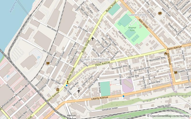
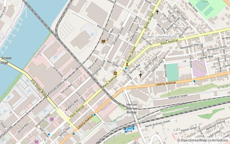
Lawrenceville is one of the largest neighborhood areas in Pittsburgh in the U.S. state of Pennsylvania. It is located northeast of downtown, and like many of the city's riverfront neighborhoods, it has an industrial past. The city considers Lawrenceville three neighborhoods, Upper Lawrenceville, Central Lawrenceville, and Lower Lawrenceville, but these distinctions have little practical effect. Accordingly, Lawrenceville is almost universally treated as being a single large neighborhood. ()
Coordinates: 40°27'52"N, 79°57'52"W
Day trips
Lawrenceville – popular in the area (distance from the attraction)
Nearby attractions include: Mr. Smalls Theatre, Immaculate Heart of Mary Church, 33rd Street Railroad Bridge, The Doughboy.
Frequently Asked Questions (FAQ)
Which popular attractions are close to Lawrenceville?
Nearby attractions include Pennsylvania National Bank Building, Pittsburgh (4 min walk), The Church Brew Works, Pittsburgh (5 min walk), The Doughboy, Pittsburgh (5 min walk), Lawrence Public School, Pittsburgh (5 min walk).
How to get to Lawrenceville by public transport?
The nearest stations to Lawrenceville:
Bus
Bus
- Herron Station (10 min walk)
- 31st Street Bridge Ramp at Rialto St • Lines: 1, 2 (21 min walk)


