Near West Side, Chicago
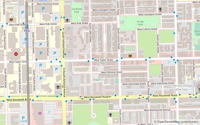
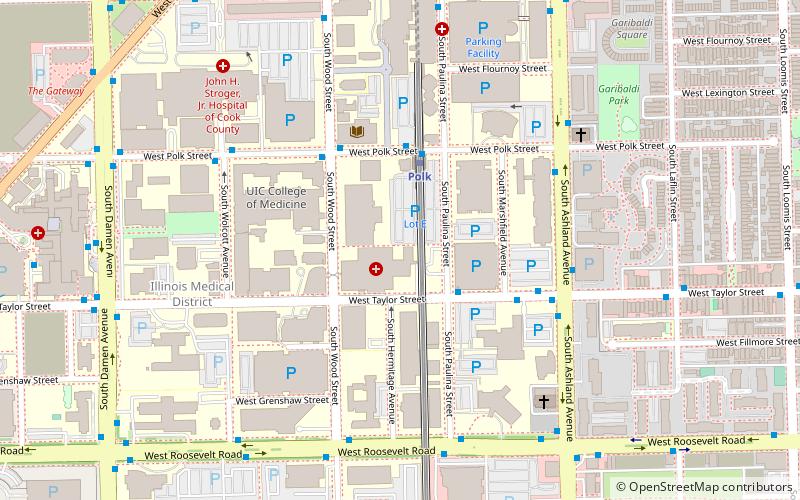
Map
Gallery
Facts and practical information
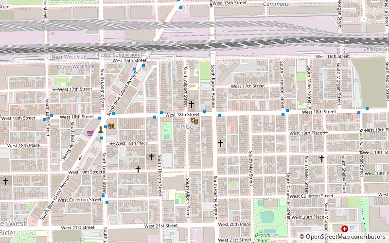
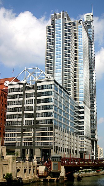
The Near West Side, one of the 77 community areas of Chicago, is on the West Side, west of the Chicago River and adjacent to the Loop. The Great Chicago Fire of 1871 started on the Near West Side. Waves of immigration shaped the history of the Near West Side of Chicago, including the founding of Hull House, a prominent settlement house. In the 19th century railroads became prominent features. In the mid-20th century, the area saw the development of freeways centered in the Jane Byrne Interchange. ()
Area: 5.75 mi²Coordinates: 41°52'12"N, 87°40'12"W
Day trips
Near West Side – popular in the area (distance from the attraction)
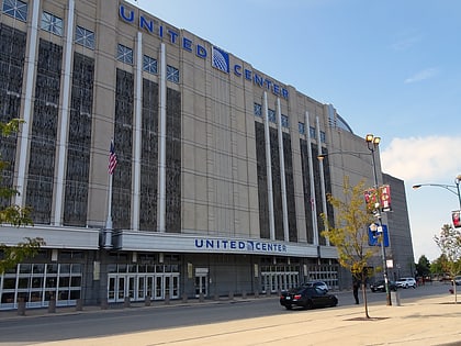
Nearby attractions include: United Center, UIC Pavilion, National Museum of Mexican Art, National Italian American Sports Hall of Fame.
Frequently Asked Questions (FAQ)
Which popular attractions are close to Near West Side?
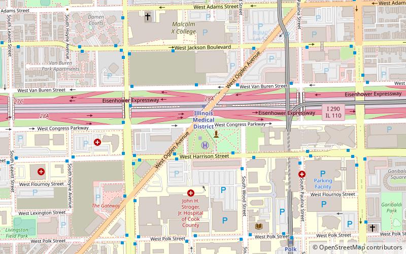
Nearby attractions include Illinois Medical District, Chicago (6 min walk), St. Basil Greek Orthodox Church, Chicago (7 min walk), National Italian American Sports Hall of Fame, Chicago (9 min walk), Ogden Avenue, Chicago (10 min walk).
How to get to Near West Side by public transport?
The nearest stations to Near West Side:
Bus
Metro
Train
Bus
- Taylor & Paulina • Lines: 157 (3 min walk)
- Polk Pink Line Station • Lines: 157, 7 (3 min walk)
Metro
- Polk • Lines: Pink (3 min walk)
- Illinois Medical District • Lines: Blue (11 min walk)
Train
- Western Avenue (30 min walk)
- Halsted Street (34 min walk)

 Rail "L"