Bronx Coliseum, New York City
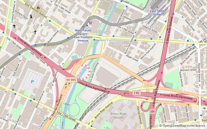
Map
Map

Facts and practical information
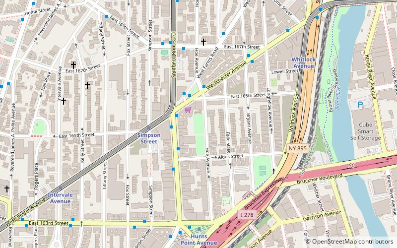
The New York Coliseum is a defunct sports venue and auditorium in the West Farms section of the Bronx, New York City. The 105,000-square-foot auditorium was originally built for Philadelphia's 1926 Sesquicentennial Exposition, and transported in 1928 to Starlight Park at 177th Street and Devoe Avenue. As such, it was also referred to as Starlight Park Stadium. ()
Coordinates: 40°50'18"N, 73°52'41"W
Address
West Bronx (West Farms)New York City
ContactAdd
Social media
Add
Day trips
Bronx Coliseum – popular in the area (distance from the attraction)
Nearby attractions include: Bronx Zoo, Crotona Park, Starlight Park, Printers Park.
Frequently Asked Questions (FAQ)
Which popular attractions are close to Bronx Coliseum?
Nearby attractions include West Farms, New York City (3 min walk), Starlight Park, New York City (8 min walk), St. Joan of Arc's Church, New York City (9 min walk), Bronx Zoo, New York City (20 min walk).
How to get to Bronx Coliseum by public transport?
The nearest stations to Bronx Coliseum:
Metro
Bus
Train
Metro
- West Farms Square–East Tremont Avenue • Lines: 2, 5 (5 min walk)
- East 180th Street • Lines: 2, 5 (9 min walk)
Bus
- East Tremont Avenue & Unionport Road • Lines: Bx42 (20 min walk)
- Unionport Road & East Tremont Avenue • Lines: Bx22 (21 min walk)
Train
- Tremont (33 min walk)

 Subway
 Manhattan Buses
