Near North Riverfront, St. Louis
Map

Map

Facts and practical information
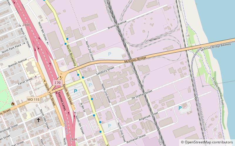
Near North Riverfront is a neighborhood of St. Louis, Missouri. Between 1990 and 2000 Near North Riverfront led the city in percentage population growth, growing 89% over the decade. Despite this large percentage growth, Near North Riverfront is largely non-residential and so the 89% percent gain represented a numerical gain of only 306 persons. The neighborhood is served by major city streets such as Tucker Boulevard, West Florissant Avenue, and Broadway Boulevard. ()
Coordinates: 38°39'46"N, 90°11'34"W
Day trips
Near North Riverfront – popular in the area (distance from the attraction)
Nearby attractions include: St. Liborius Church and Buildings, McKinley Bridge, Bissell Street Water Tower, Grand Avenue Water Tower.
Frequently Asked Questions (FAQ)
Which popular attractions are close to Near North Riverfront?
Nearby attractions include McKinley Bridge, St. Louis (9 min walk), Hyde Park, St. Louis (13 min walk), Windsor Park, St. Louis (17 min walk), Bissell Street Water Tower, St. Louis (22 min walk).


