Sierra Point, Yosemite National Park

Facts and practical information
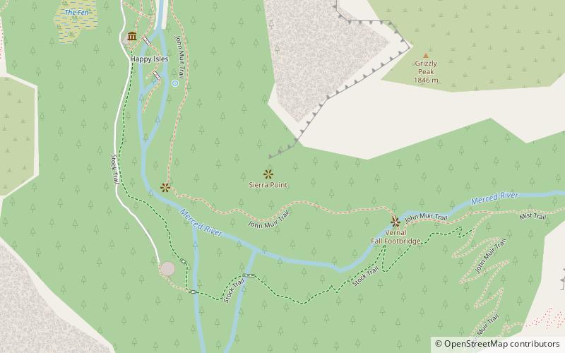
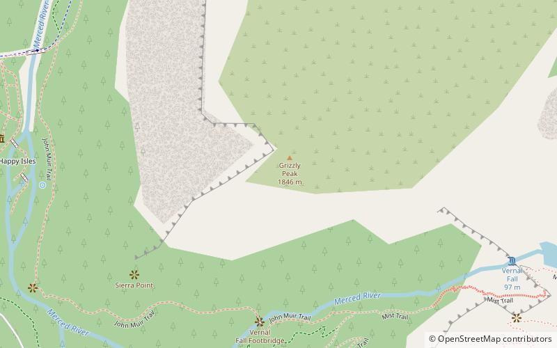
Sierra Point is a point located in Yosemite National Park at the eastern end of the valley, below Grizzly Peak, on what is essentially the southern shoulder of Half Dome. The trail used to be quite popular, but was closed due to a rock slide in the 1970s. This was John Muir's favorite trail. While a portion of the trail is still missing, it is still possible to reach the point. In fact, the trail is only 0.7 miles long and about 1,000 feet off the valley floor. This hike should not be attempted by beginning hikers due to the difficulty of the missing portions of the trail. In fact, the National Park Service does not recommend that anyone take this trail. Despite this warning, many people still reach the point each year as it is easily accessible from the Vernal Fall trail in Happy Isles, and still has the original railing at the top. It is popular in part because it is the only point in the valley from which four waterfalls can be seen from one vantage point: Vernal Fall, Nevada Fall, Yosemite Falls, and Illilouette Fall. ()
Yosemite National Park
- Bus
 Bus
Bus
- Calculate routeValley Shuttle Stop #16 12 min walk


Frequently Asked Questions (FAQ)
Which popular attractions are close to Sierra Point?
How to get to Sierra Point by public transport?
Bus
- Valley Shuttle Stop #16 • Lines: Yosemite Valley Shuttle (12 min walk)