Smithsonian Museum Support Center, Suitland
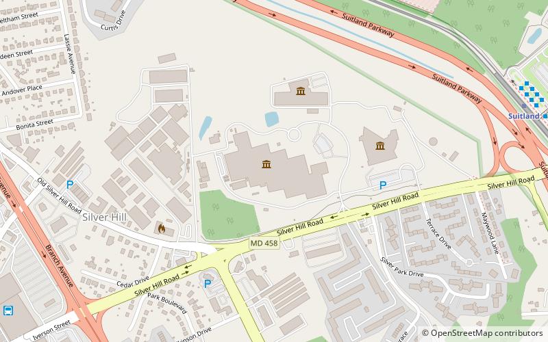
Map
Facts and practical information
The Smithsonian Institution's Museum Support Center is a collections storage and conservation facility in Suitland, Maryland which houses Smithsonian collections which are not on display in the museums. It is not usually open to the public, due to security concerns, though occasionally special tours are organized. ()
Established: 1983 (43 years ago)Coordinates: 38°50'34"N, 76°56'26"W
Getting there by public transportation
Public transportation stops near this location
- Metro
- Bus
 Metro
Metro
- Calculate routeSuitland 12 min walk
- Calculate routeNaylor Road 27 min walk
- Calculate routeH 12 min walk
- Calculate routeD 12 min walk
- Calculate routeJ 12 min walk
- Calculate routeK 12 min walk
Day trips


Frequently Asked Questions (FAQ)
How to get to Smithsonian Museum Support Center by public transport?
The nearest stations to Smithsonian Museum Support Center:
Metro
Bus
Metro
- Suitland • Lines: Gr (12 min walk)
- Naylor Road • Lines: Gr (27 min walk)
Bus
- H • Lines: 735, 850, D12 (12 min walk)
- D • Lines: 34 (12 min walk)