Fort Davis Park, Washington D.C.
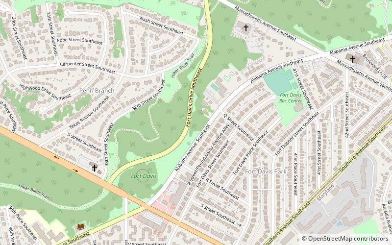
Map
Facts and practical information
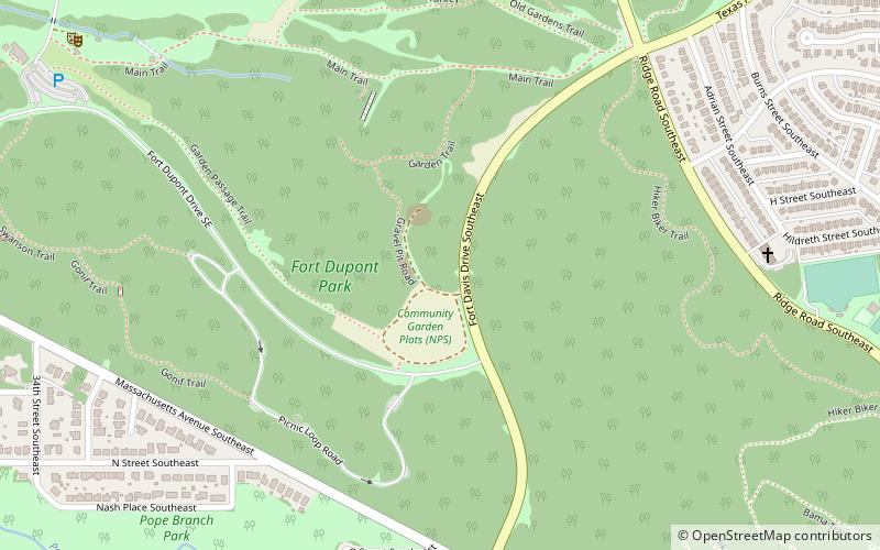
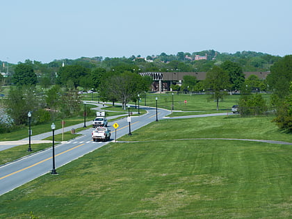
Fort Davis is a Civil War earthwork that was constructed for the defense of Washington. It is located in the Fort Davis neighborhood. ()
Elevation: 282 ft a.s.l.Coordinates: 38°52'6"N, 76°56'57"W
Address
Southeast Washington (Fort Dupont)Washington D.C.
ContactAdd
Social media
Add
Day trips
Fort Davis Park – popular in the area (distance from the attraction)
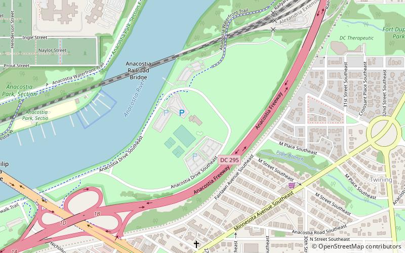
Nearby attractions include: Fort Dupont Park, Francis A. Gregory Neighborhood Library, Anacostia Park, National Capital Parks-East.
Frequently Asked Questions (FAQ)
Which popular attractions are close to Fort Davis Park?
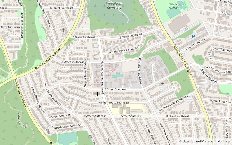
Nearby attractions include Francis A. Gregory Neighborhood Library, Washington D.C. (10 min walk), Fairfax Village, Washington D.C. (11 min walk), Penn Branch, Washington D.C. (14 min walk), Fort Dupont Park, Washington D.C. (16 min walk).
