Genesee Park, Seattle
Map
Map

Facts and practical information
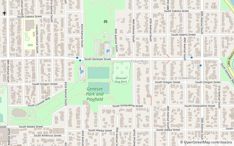
Genesee Park is a 57.7-acre park in the Rainier Valley neighborhood of Seattle, Washington. A waterway, Wetmore Slough, before the lowering of Lake Washington by nine feet in 1917 as part of the construction of the Lake Washington Ship Canal, it was purchased by the city in 1947 and used as a dump until 1963. Development of the park began in 1968. It hosts the hydroplane races and aerobatics air show during the annual Seattle Seafair, in July–August. ()
Elevation: 49 ft a.s.l.Coordinates: 47°33'48"N, 122°16'37"W
Address
Rainier Valley (Columbia City)Seattle
ContactAdd
Social media
Add
Day trips
Genesee Park – popular in the area (distance from the attraction)
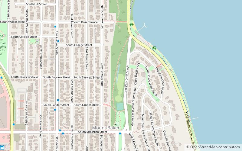
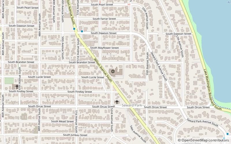
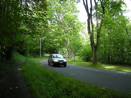
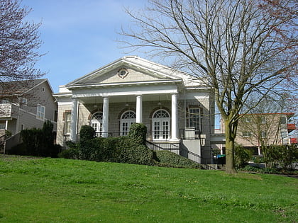
Nearby attractions include: Mount Baker Park, Seward Park, Congregation Ezra Bessaroth, Cheasty Boulevard South.
Frequently Asked Questions (FAQ)
Which popular attractions are close to Genesee Park?
Nearby attractions include Fifth Church of Christ, Seattle (14 min walk), Lake People Park, Seattle (21 min walk), Hillman City, Seattle (22 min walk), Congregation Ezra Bessaroth, Seattle (22 min walk).
How to get to Genesee Park by public transport?
The nearest stations to Genesee Park:
Bus
Light rail
Bus
- S Genesee St & 43rd Ave S • Lines: 50 (4 min walk)
- 50th Ave S & S Genesee St • Lines: 50 (8 min walk)
Light rail
- Columbia City • Lines: 1 (20 min walk)
- Mount Baker • Lines: 1 (34 min walk)

