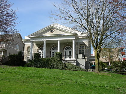
Cheasty Boulevard South, Seattle
Map
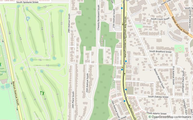
Map

Facts and practical information
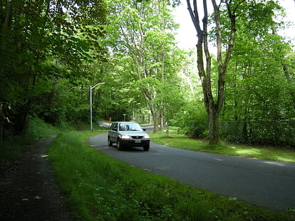
Cheasty Boulevard South is a 1.3-mile route along the eastern edge of Seattle, Washington's Beacon Hill neighborhood. It was declared a City of Seattle landmark on January 15, 2003. Designed in 1903 as part of Seattle's Olmsted parks system, the property was acquired in 1910. Originally named Jefferson Boulevard, it was renamed in 1914 after E.C. Cheasty of the Parks Board, a former commissioner of the Seattle Police Department and the Alaska–Yukon–Pacific Exposition. ()
Coordinates: 47°34'6"N, 122°17'58"W
Address
Beacon Hill (North Beacon Hill)Seattle
ContactAdd
Social media
Add
Day trips
Cheasty Boulevard South – popular in the area (distance from the attraction)
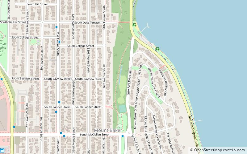
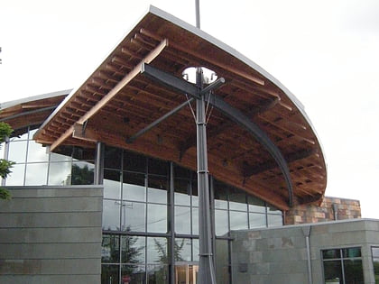
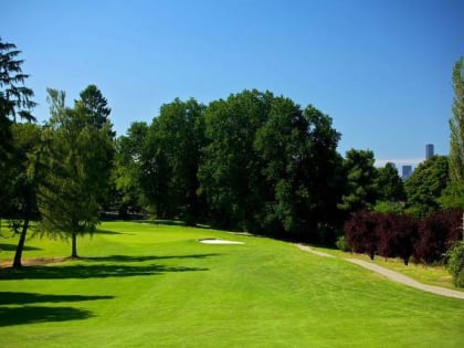
Nearby attractions include: Mount Baker Park, Beacon Hill Branch Library, Jefferson Park Golf Course, Dai Bai Zan Cho Bo Zen Ji.
Frequently Asked Questions (FAQ)
Which popular attractions are close to Cheasty Boulevard South?
Nearby attractions include Lake People Park, Seattle (9 min walk), Jefferson Park, Seattle (13 min walk), Dai Bai Zan Cho Bo Zen Ji, Seattle (16 min walk), Beacon Food Forest, Seattle (17 min walk).
How to get to Cheasty Boulevard South by public transport?
The nearest stations to Cheasty Boulevard South:
Bus
Light rail
Bus
- Martin L King Jr Way S & S Andover St • Lines: 106 (3 min walk)
Light rail
- Mount Baker • Lines: 1 (15 min walk)
- Columbia City • Lines: 1 (18 min walk)
