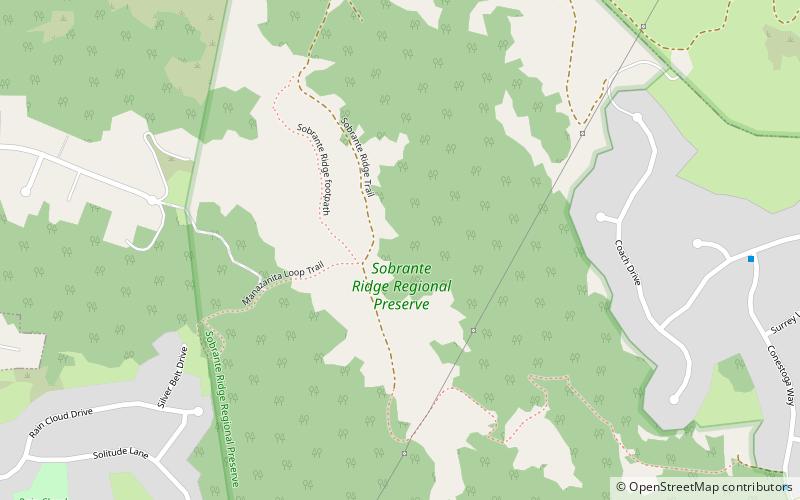
Sobrante Ridge Regional Park, Richmond
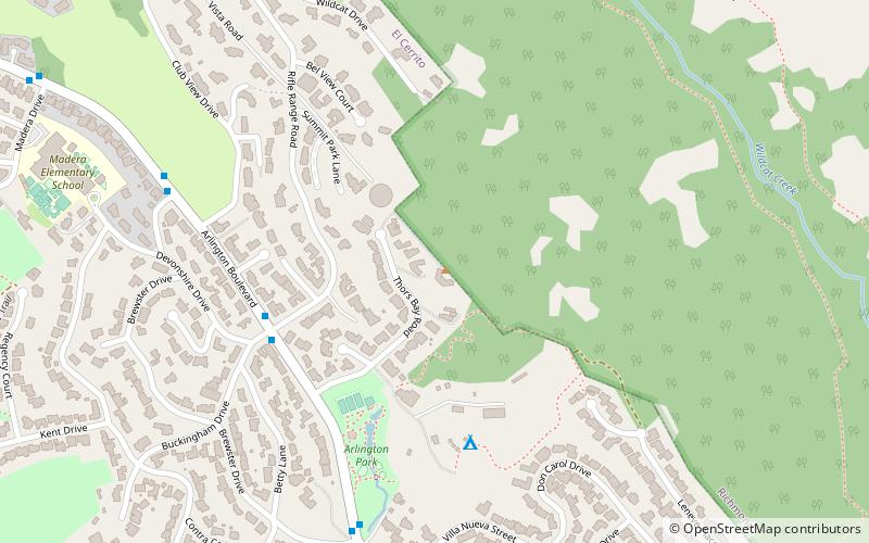
Map
Facts and practical information
Sobrante Ridge Regional Park, or simply Sobrante Ridge, is a regional park of the East Bay Regional Parks District in Richmond, California. It covers 277 acres and protects the extremely endangered Alameda Manzanita, a native plant of the area. The park has 2+1⁄2 miles of trails. The endangered manzanita grow on 9 acres. ()
Elevation: 692 ft a.s.l.Coordinates: 37°58'3"N, 122°15'50"W
Address
Richmond
ContactAdd
Social media
Add
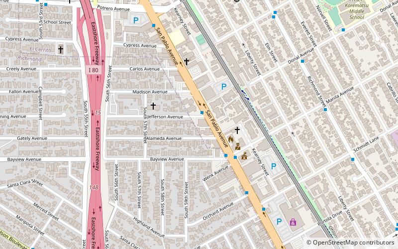
Getting there by public transportation
Public transportation stops near this location
- Bus
 Bus
Bus
- Calculate routeOlinda Road & Archery Way 22 min walk
- Calculate routeWright Avenue & Doidge Avenue 24 min walk
- Calculate routeCastro Ranch Road & Sherwood Forest Drive 24 min walk
Day trips


Frequently Asked Questions (FAQ)
How to get to Sobrante Ridge Regional Park by public transport?
The nearest stations to Sobrante Ridge Regional Park:
Bus
Bus
- Olinda Road & Archery Way • Lines: 74 (22 min walk)
- Wright Avenue & Doidge Avenue • Lines: 16 (24 min walk)