Longwood, New York City
Map
Gallery
Facts and practical information
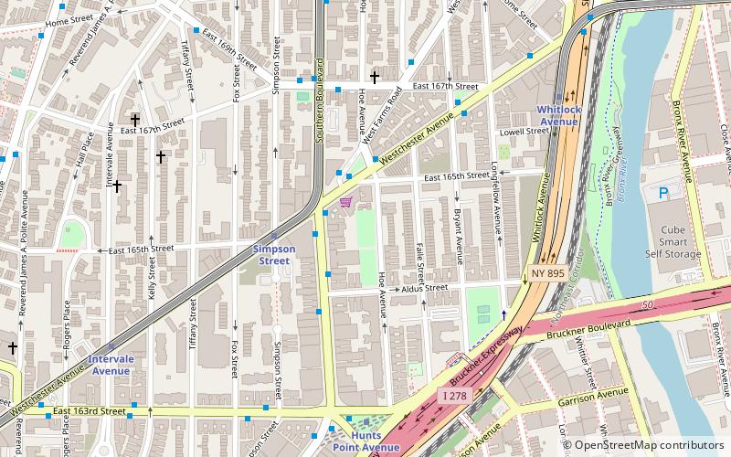
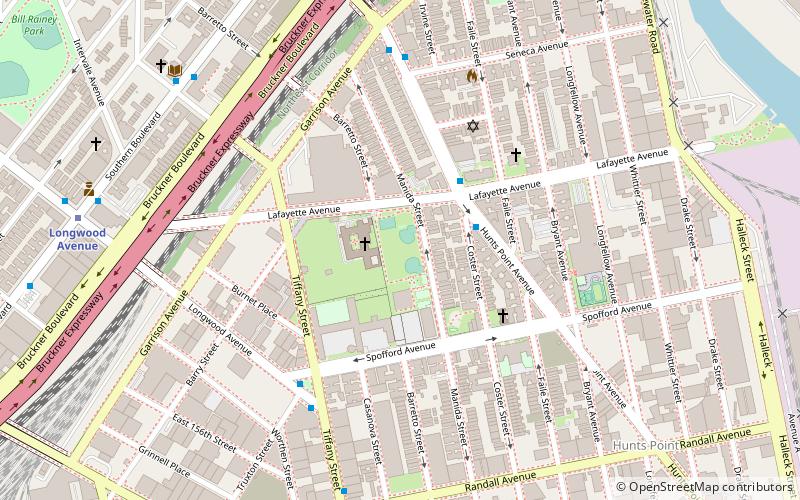
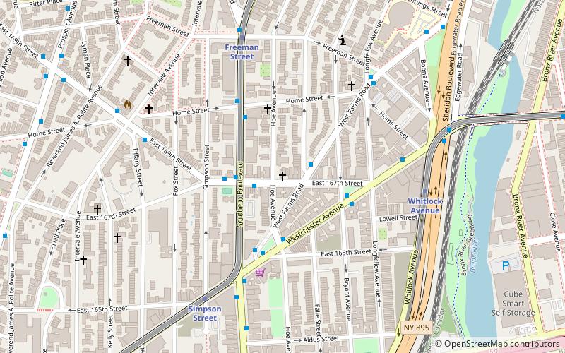
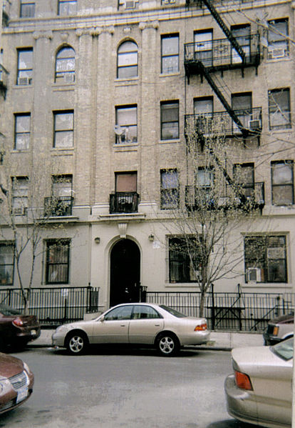
Longwood is a mixed-use neighborhood geographically located in the southwest Bronx, New York City. Its boundaries, starting from the north and moving clockwise are East 167th Street to the north, the Bronx River and the Bruckner Expressway to east, East 149th Street to the south, and Prospect Avenue to the west. Southern Boulevard is the primary thoroughfare through Longwood. ()
Area: 0.49 mi²Coordinates: 40°49'2"N, 73°53'57"W
Day trips
Longwood – popular in the area (distance from the attraction)
Nearby attractions include: Barretto Point Park, Starlight Park, Church of St. Anselm and St. Roch, Printers Park.
Frequently Asked Questions (FAQ)
Which popular attractions are close to Longwood?
Nearby attractions include Playground 52, New York City (6 min walk), Church of St. Anselm and St. Roch, New York City (9 min walk), South Bronx Greenway, New York City (12 min walk), Julio Carballo Field, New York City (14 min walk).
How to get to Longwood by public transport?
The nearest stations to Longwood:
Metro
Bus
Train
Metro
- Longwood Avenue • Lines: 6 (5 min walk)
- Prospect Avenue • Lines: 2, 5 (6 min walk)
Bus
- East 149th Street & Trinity Aveue • Lines: Bx19 (17 min walk)
- East 163rd Street & 3rd Avenue • Lines: Bx13, Bx6 (18 min walk)
Train
- Melrose (26 min walk)


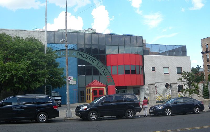
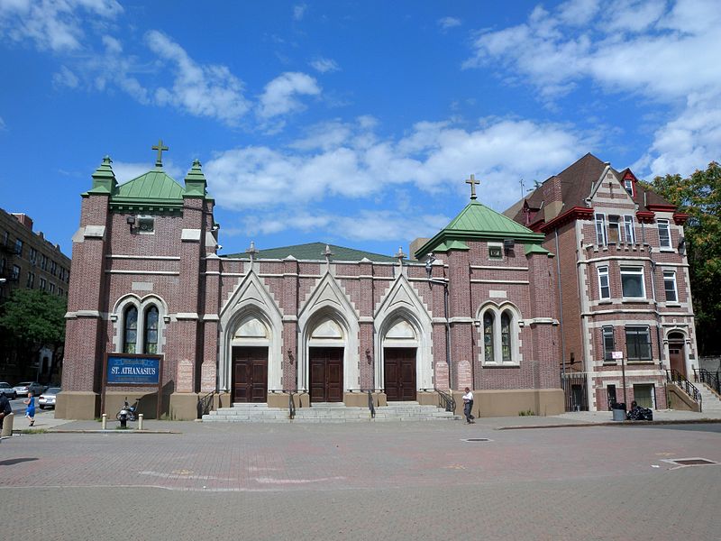
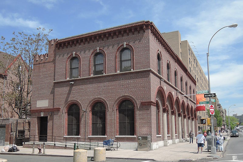
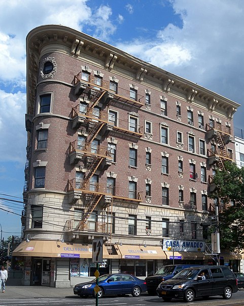

 Subway
 Manhattan Buses
