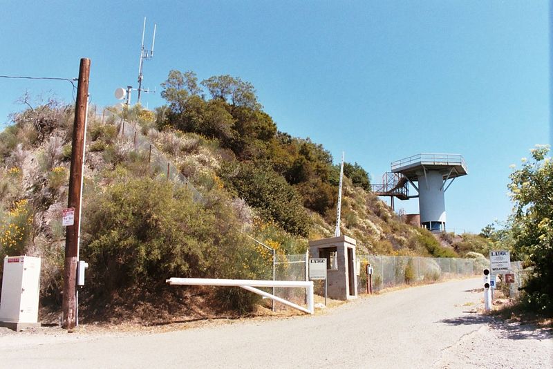
San Vicente Mountain, Santa Monica Mountains National Recreation Area

Gallery (2)
Map
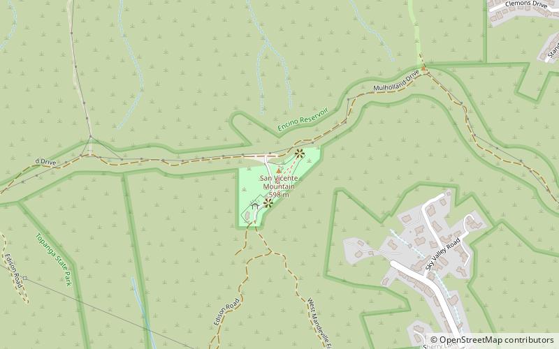
Map
Gallery
Facts and practical information
San Vicente Mountain Park is a former Nike Missile Radar/Control Site in Southern California. The site is located on city-owned land above the Encino Reservoir along the unpaved portion of Mulholland Drive west of the 405 freeway. Access is by a short hike past a gate on a portion of dirt Mulholland Drive between Encino Hills Drive and Canoga Avenue. ()
Coordinates: 34°7'43"N, 118°30'47"W
Address
17500 Mulholland DrSanta Monica Mountains National Recreation Area 90049
ContactAdd
Social media
Day trips