Lost Corner Mountain, Lake Tahoe Basin Management Unit

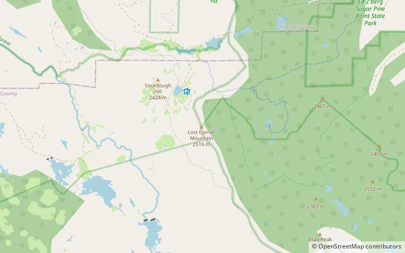
Map
Facts and practical information
Lost Corner Mountain is a mountain summit in the Sierra Nevada mountain range to the west of Lake Tahoe on the border of the Desolation Wilderness in El Dorado County, California. The city closest to it is Meyers, California which is 4.4 miles away. ()
Elevation: 8265 ftProminence: 541 ftCoordinates: 39°0'48"N, 120°12'14"W
Address
Lake Tahoe Basin Management Unit
ContactAdd
Social media
Add
Day trips
Lost Corner Mountain – popular in the area (distance from the attraction)
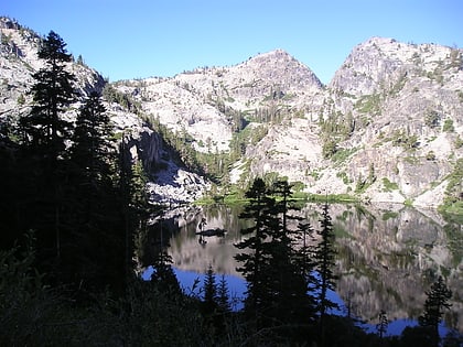
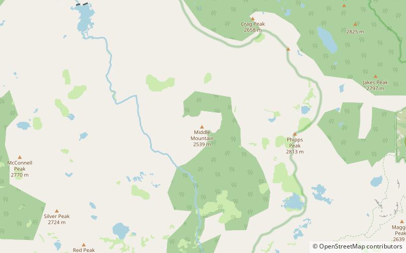
Nearby attractions include: Vikingsholm, Eagle Lake, Eagle Falls trailhead, Silver Peak.


