Boston Fish Pier, Boston
Map
Map

Facts and practical information
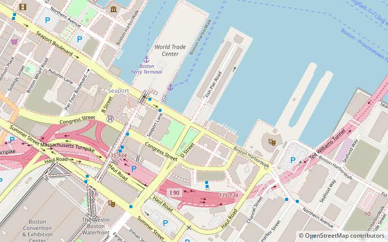
The Boston Fish Pier is the central site for the fishing industry based in Boston, Massachusetts. Located on Northern Avenue in South Boston in Boston's Inner Harbor, the pier has played this role since its establishment in 1910. In the 1920s, it was home to one of the largest fishing fleets in the eastern United States, processing 250 million pounds of fish. The pier and its associated buildings were listed on the National Register of Historic Places in 2017. ()
Built: 1910 (116 years ago)Coordinates: 42°20'57"N, 71°2'22"W
Address
South Boston (D Street - West Broadway)Boston
ContactAdd
Social media
Add
Day trips
Boston Fish Pier – popular in the area (distance from the attraction)
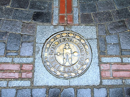
Nearby attractions include: Quincy Market, Faneuil Hall, Freedom Trail, Institute of Contemporary Art.
Frequently Asked Questions (FAQ)
Which popular attractions are close to Boston Fish Pier?
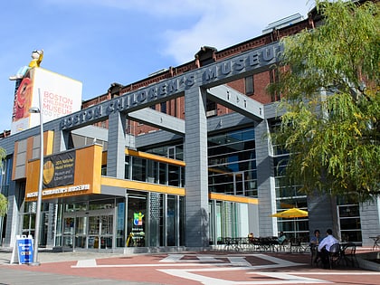
Nearby attractions include Leader Bank Pavilion, Boston (5 min walk), Harpoon Brewery and Beer Hall, Boston (8 min walk), Institute of Contemporary Art, Boston (9 min walk), Raymond L. Flynn Marine Park, Boston (10 min walk).
How to get to Boston Fish Pier by public transport?
The nearest stations to Boston Fish Pier:
Bus
Train
Metro
Light rail
Bus
- Summer St @ D St • Lines: 7 (7 min walk)
Train
- Boston South Station (21 min walk)
- Boston North Station (43 min walk)
Metro
- South Station • Lines: Red (22 min walk)
- Aquarium • Lines: Blue (25 min walk)
Light rail
- Government Center • Lines: C, D, E (33 min walk)
- Haymarket • Lines: C, E (34 min walk)

 MBTA Subway

