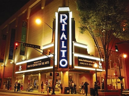
Municipal Auditorium, Atlanta
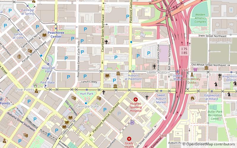
Map
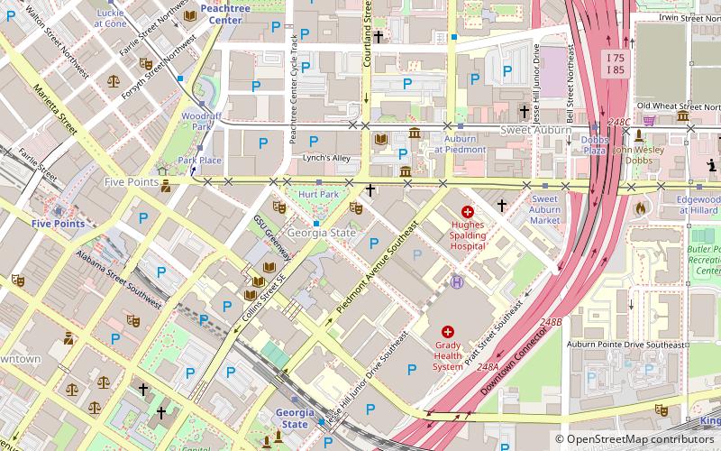
Map

Facts and practical information
Atlanta Municipal Auditorium, originally known as the Auditorium and Armory, was an auditorium in Atlanta, Georgia, USA. It was constructed with funds raised by a committee of Atlanta citizens and then sold to the city of Atlanta. ()
Coordinates: 33°45'13"N, 84°23'4"W
Address
Downtown Atlanta (Georgia State University)Atlanta
ContactAdd
Social media
Add
Day trips
Municipal Auditorium – popular in the area (distance from the attraction)
Nearby attractions include: M. Rich Building, Atlanta from the Ashes, Lake Lanier, Underground Atlanta.
Frequently Asked Questions (FAQ)
Which popular attractions are close to Municipal Auditorium?
Nearby attractions include Dixie Coca-Cola Bottling Company Plant, Atlanta (2 min walk), Hurt Park, Atlanta (3 min walk), Auburn Avenue Research Library, Atlanta (4 min walk), APEX Museum, Atlanta (4 min walk).
How to get to Municipal Auditorium by public transport?
The nearest stations to Municipal Auditorium:
Tram
Metro
Bus
Tram
- Hurt Park • Lines: Atlanta Streetcar (3 min walk)
- Auburn at Piedmont • Lines: Atlanta Streetcar (5 min walk)
Metro
- Georgia State • Lines: Blue, Green (7 min walk)
- Peachtree Center • Lines: Gold, Red (11 min walk)
Bus
- Atlanta Greyhound Bus Station (20 min walk)
- Village Smoke • Lines: Blue Route (32 min walk)

