Wattis Institute for Contemporary Arts, San Francisco

Gallery (1)
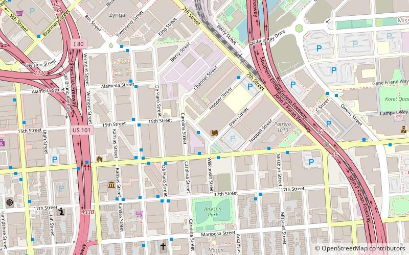
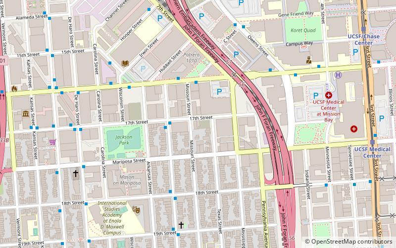
Map
Map
Facts and practical information
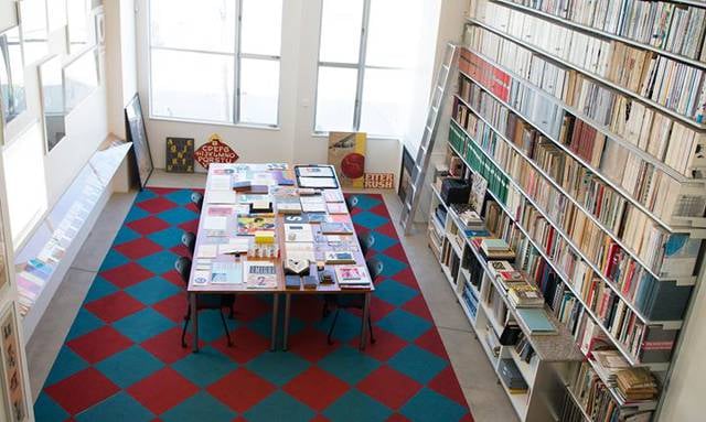
Established in 1998, the Wattis Institute for Contemporary Arts is a contemporary art center in San Francisco, California, US, and part of the California College of the Arts. It holds exhibitions, lectures, and symposia, releases publications, and runs a residency program, Wattis. ()
Coordinates: 37°46'2"N, 122°24'0"W
Address
Southeast San Francisco (Showplace Square)San Francisco
ContactAdd
Social media
Add
Getting there by public transportation
Public transportation stops near this location
- Metro
- Bus
- Trolleybus
- Tram
- Light rail
- Train
 Metro
Metro
- Calculate route1111 8th Street 1 min walk
- Calculate route16th Street & Wisconsin Street 2 min walk
- Calculate routeDe Haro Street & 16th Street 4 min walk
- Calculate route100 Hooper Street 4 min walk
- Calculate route16th Street & Wisconsin Street 2 min walk
- Calculate routeUCSF/Chase Center 16 min walk
- Calculate routeUCSF Medical Center 17 min walk
- Calculate routeKing Street & 4th Street 17 min walk
- Calculate routeMission Rock 18 min walk
- Calculate routeSan Francisco 4th & King Street 18 min walk
- Calculate route22nd Street 21 min walk
- Calculate route16th Street Mission 28 min walk
- Calculate routeCivic Center 29 min walk
- Calculate routeMarket Street & 8th Street 29 min walk
Maps Muni Metro
Muni MetroDay trips


Frequently Asked Questions (FAQ)
Which popular attractions are close to Wattis Institute for Contemporary Arts?
Nearby attractions include San Francisco Center for the Book, San Francisco (5 min walk), Bottom of the Hill, San Francisco (7 min walk), UCSF Graduate Division, San Francisco (10 min walk), Catharine Clark Gallery, San Francisco (11 min walk).
How to get to Wattis Institute for Contemporary Arts by public transport?
The nearest stations to Wattis Institute for Contemporary Arts:
Bus
Trolleybus
Light rail
Train
Metro
Tram
Bus
- 1111 8th Street • Lines: Cca (1 min walk)
- 16th Street & Wisconsin Street • Lines: 55 (2 min walk)
Trolleybus
- 16th Street & Wisconsin Street • Lines: 22 (2 min walk)
Light rail
- UCSF/Chase Center • Lines: T (16 min walk)
- UCSF Medical Center • Lines: T (17 min walk)
Train
- San Francisco 4th & King Street (18 min walk)
- 22nd Street (21 min walk)
Metro
- 16th Street Mission • Lines: Blue, Green, Red, Yellow (28 min walk)
- Civic Center • Lines: Blue, Green, Red, Yellow (29 min walk)
Tram
- Market Street & 8th Street • Lines: F (29 min walk)