Port Norfolk Historic District, Portsmouth
Map

Map

Facts and practical information
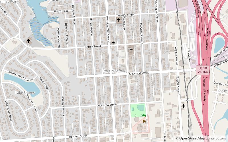
Port Norfolk Historic District is a national historic district located at Portsmouth, Virginia. It encompasses 621 contributing buildings and 1 contributing site in a primarily residential section of suburban Portsmouth. It was developed between about 1890 and 1910, and includes notable examples of Queen Anne, Bungalow / American Craftsman, and American Foursquare style single family residences. ()
Coordinates: 36°50'48"N, 76°20'11"W
Address
Port NorfolkPortsmouth
ContactAdd
Social media
Add
Day trips
Port Norfolk Historic District – popular in the area (distance from the attraction)
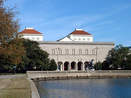
Nearby attractions include: Chrysler Museum of Art, Waterside, St. Paul's Catholic Church, Confederate Monument.


